
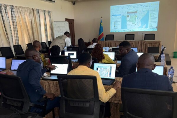
SAEMAPE et IPIS lancent un programme de formation à l’utilisation des outils de cartographie, afin de renforcer l’exploitation des données relatives aux sites miniers
6 juillet 2026Du 30 mars au 2 avril 2026, le SAEMAPE et IPIS ont organisé conjointement un atelier technique pour renforcer les capacités de cartographie des agents du SAEMAPE et d’autres services miniers, tels que le Cadastre minier (CAMI) et le Service géologique national (SGN-C). Cet atelier sera suivi d’autres formations conjointes afin de renforcer les compétences techniques des experts du ministère sur l’
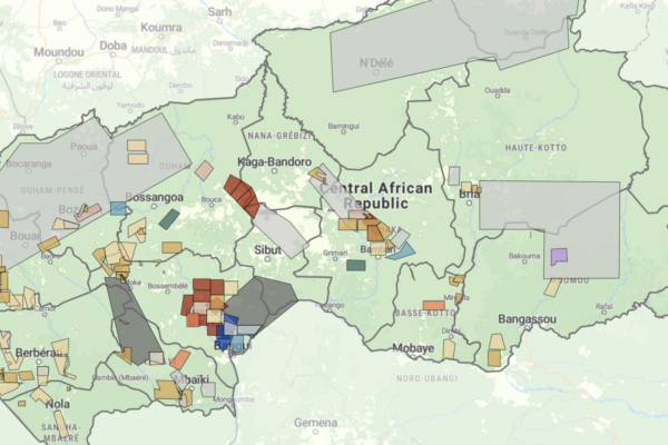
Cartographie des permis d’exploitation minière en République centrafricaine : un nouveau tableau de bord pour favoriser la transparence du secteur extractif
25 juin 2026Le secteur minier de la République centrafricaine entre dans une nouvelle phase, mais son évolution reste incertaine. Un code minier révisé, la levée de l’embargo du Processus de Kimberley sur les diamants de conflit et un secteur aurifère en pleine expansion pourraient créer de nouvelles opportunités d’investissement et de recettes publiques. Dans le même temps, la suspension de la RCA de l’Initi
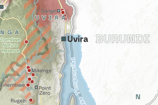
Shifting frontlines in 2026: New year – old challenges. Hostilities in eastern DRC continue amid increased diplomatic efforts
25 juin 2026As the conflict in eastern DRC entered its third year of major hostilities between the Rwanda-backed AFC/M23 alliance and the FARDC/Wazalendo coalition, diplomatic efforts continued in early 2026 to advance the peace process. Despite renewed diplomatic momentum and both parties’ stated commitment to the peace processes, the situation on the ground remained marked by continuous violent clashes, shi

Shifting frontlines in October, November and December – Limits of diplomacy: AFC/M23 advances after Washington Accords
19 décembre 2025On 4 December 2025, Rwanda and the Democratic Republic of the Congo (DRC) signed the US-brokered Washington Accords for Peace and Prosperity, committing to cease hostilities, establish a permanent ceasefire, and implement the 25 April Declaration of Principles and the 27 June Peace Agreement. However, critical questions have been raised about the prospects for lasting peace in eastern DRC, as Kig

M23’s territorial advances in July, August, and September 2025 – Escalating violence and fragile peace in eastern DRC’s Kivu regions
17 octobre 2025New peace agreements from Washington and Doha have brought hope for initiating a pathway to resolve the ongoing M23-conflict in DRC’s eastern territories in recent months. However, after the signing of the Declaration of Principles in Doha on 19 July, direct negotiations between the DRC and AFC/M23 were intended to result in a comprehensive peace agreement and were planned to begin no later than 8

KUFUATILIA expands to Tanzania: Strengthening civil society monitoring and community support in the mining sector
2 avril 2025In March 2025, IPIS successfully launched KUFUATILIA, its civil society organization (CSO) incident monitoring scheme for the mining sector, in Tanzania’s Mara region. KUFUATILIA is a community-based incident reporting system designed to facilitate real-time, structured reporting by community members through mobile phones.
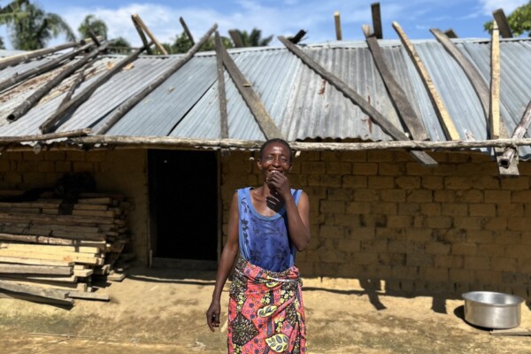
Unconditional Cash Transfers (UCT) in the DRC: Midline results of a pilot study in an artisanal mining zone in Maniema province
19 juin 2023In October 2021, the Belgian non-profit organization Eight World, started a pilot project of Unconditional Cash Transfers (UCT) in a village in an artisanal mining zone in the territory of Pangi, in Maniema Province, in the Democratic Republic of Congo (DRC). Eight World transfers cash directly to individual beneficiaries via a mobile money system. Each adult living in the UCT village receives 20
My GIS internship at IPIS – A goodbye from our latest intern Philip Knirsch
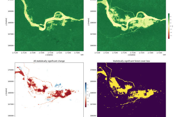
20 mars 2023During the second half of 2022, I had the chance to complete a GIS internship at IPIS in Antwerp. As a student pursuing a degree in both African Studies and Geography, I was eager to apply my existing knowledge from both fields and gather valuable insights and experience. The main tasks of the GIS and data analysis team, and thus of my internship, included supporting other researchers in col
Responsible mining scorecard in eastern DRC
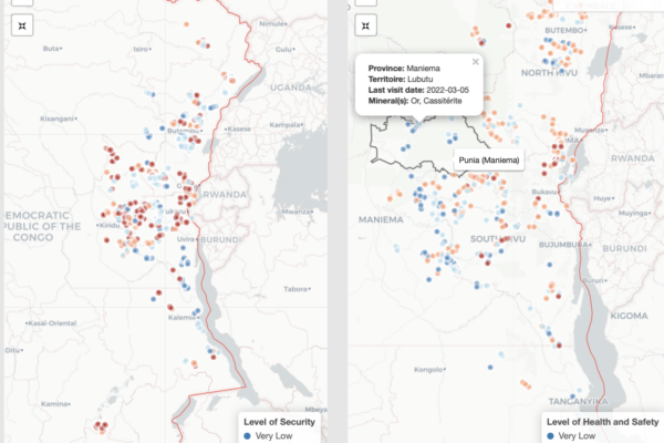
31 août 2022Over the years, IPIS has systematically collected mine site and trade hub level data on artisanal and small-scale mining (ASM) in eastern DRC. This data collection has enabled IPIS to generate a sizable database of more than 3,000 ASM sites that draws both on sites visited by IPIS and data from third party sources including the Congolese mining cadastre and the Mini
New large-scale mapping project of artisanal and small-scale mining in eastern DRC launched
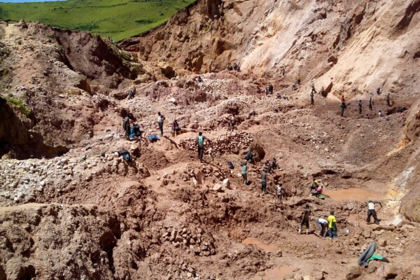
10 novembre 2021Over the next two years, IPIS – in partnership with USAID, Tetra Tech and the Congolese Ministry of Mines (SAEMAPE) – will undertake a large-scale mapping effort of artisanal and small-scale mining sites in the eastern Democratic Republic of Congo (DRC), with the aim to provide observers, suppliers and policymakers with reliable data to understand artisanal mineral supply chains and conflict finan
My GIS internship experience – A goodbye from our latest intern
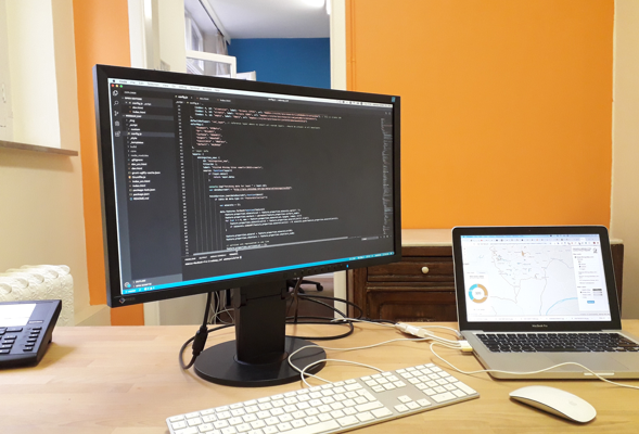
25 septembre 2019This summer I joined IPIS as a GIS intern between my first and second year of master and discovered a group of professionals whose work drive insights for decision-making and governance through research and technology. Walking into the building, I was warmly greeted by the staff and discovered the vast collection of books in the library of this research institute. The last three months were full o
Working on conflict mapping through GIS – A goodbye from our latest GIS intern
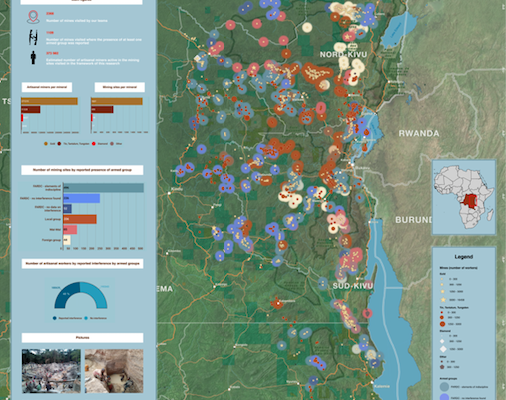
29 mai 2019I arrived at IPIS in January of this year with the purpose to further improve my GIS skills and work on the topic of conflict mapping. Entering the IPIS premises and meeting the staff, my first impression of IPIS was that of a friendly and professional organization. They are lucky enough to be housed in an old monastery which seems like a small oasis in the middle of the loud and crowded city. Tha
IPIS opens up its data!
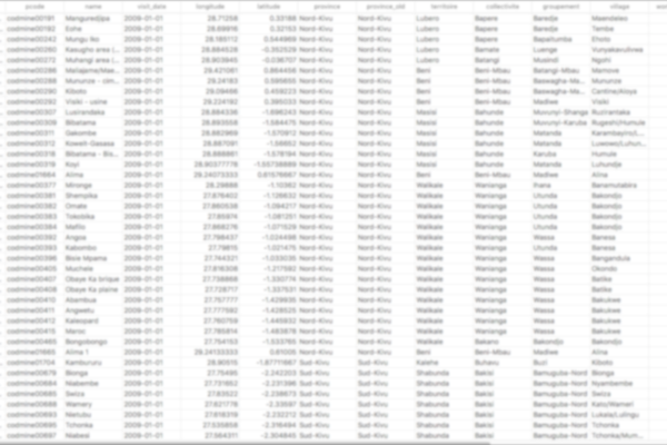
2 mai 2017Data collection on peace, development and human rights is an essential part of the research work we do at IPIS. Because we believe in the power of Open Data to stimulate research that contributes to our vision of durable peace, sustainable development and the fulfilment of human rights, we are happy to announce that we are now providing structured access to some of our key datasets. Our data colle
Missing Maps Mapathon / Wednesday, 26 October 2016
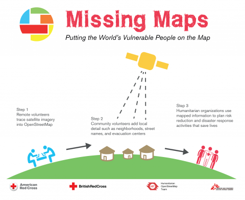
4 octobre 2016IPIS, Missing Maps and OpenStreetMap Belgium organise another Missing Maps MAPATHON on Wednesday October 26, at the IPIS library! IPIS Research and Openstreetmap Belgium invite you to come map for the Missing Maps project with us. By doing so, you will learn how to create the open maps that make the work of NGOs like Doctors Without Borders or IPIS Research easier. After the event, you will be abl
Missing Maps mapathon / Wednesday, 29 June 2016
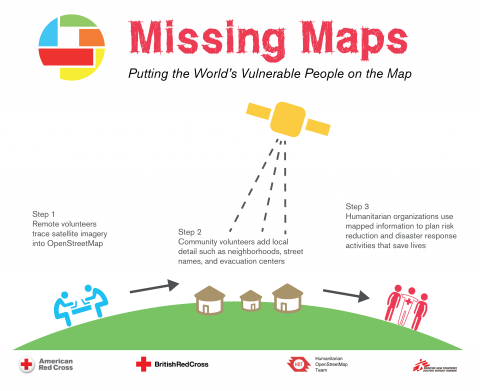
8 juin 2016IPIS, Missing Maps and OpenStreetMap Belgium organise another Missing Maps MAPATHON on Wednesday, June 29, at the IPIS library! IPIS Research and Openstreetmap Belgium invite you to come map for the Missing Maps project with us. By doing so, you will learn how to create the open maps that make the work of NGOs like Doctors Without Borders or IPIS Research easier. After the event, you will be able
Missing Maps mapathon / Wednesday, 23 March 2016
17 février 2016IPIS, Missing Maps and OpenStreetMap Belgium organise the mapping event ‘Missing Maps mapathon’ on Wednesday March 23 at the IPIS library! IPIS Research and Openstreetmap Belgium invite you to come map for the Missing Maps project with us. Doing so, you will learn how to create the open maps that make the work of NGOs like Doctors Without Borders or IPIS Research easier. After the event, you will
COMING SOON! Missing Maps mapathon / Wednesday, 9 December 2015
12 novembre 2015IPIS, Missing Maps and OpenStreetMap Belgium organise the mapping event ‘Missing Maps mapathon’ on Wednesday December 9th at the IPIS library! The Missing Maps project is an open collaboration between the Humanitarian OpenStreetMap Team (HOT), Doctors without Borders UK, and the British and American Red Cross. The goal of the project is to map the areas of the world that are the most sensitive to