In “Mapping Conflict Motives: the Sudan-South Sudan border”, IPIS analyses the conflict dynamics in the wider border area spanning Sudan and South Sudan. The analysis specifically looks into the motivations and interests of the parties involved in the interstate, intrastate and local conflicts in this area. The report covers the following key questions: Where are conflict parties focussing their efforts? Which strategic interests do they prioritise and ignore? What do they want to achieve? And do their actions correspond to their rhetoric?
The examined period spans September 2012 – December 2013. The geographic areas covered include: the South Sudanese states of Western Bahr-El Ghazal, Northern Bahr-El Ghazal, Warrap, Unity and Upper Nile; the Sudanese states of South Kordofan and Blue Nile; and the Abyei box. A chapter is dedicated to each of these areas.
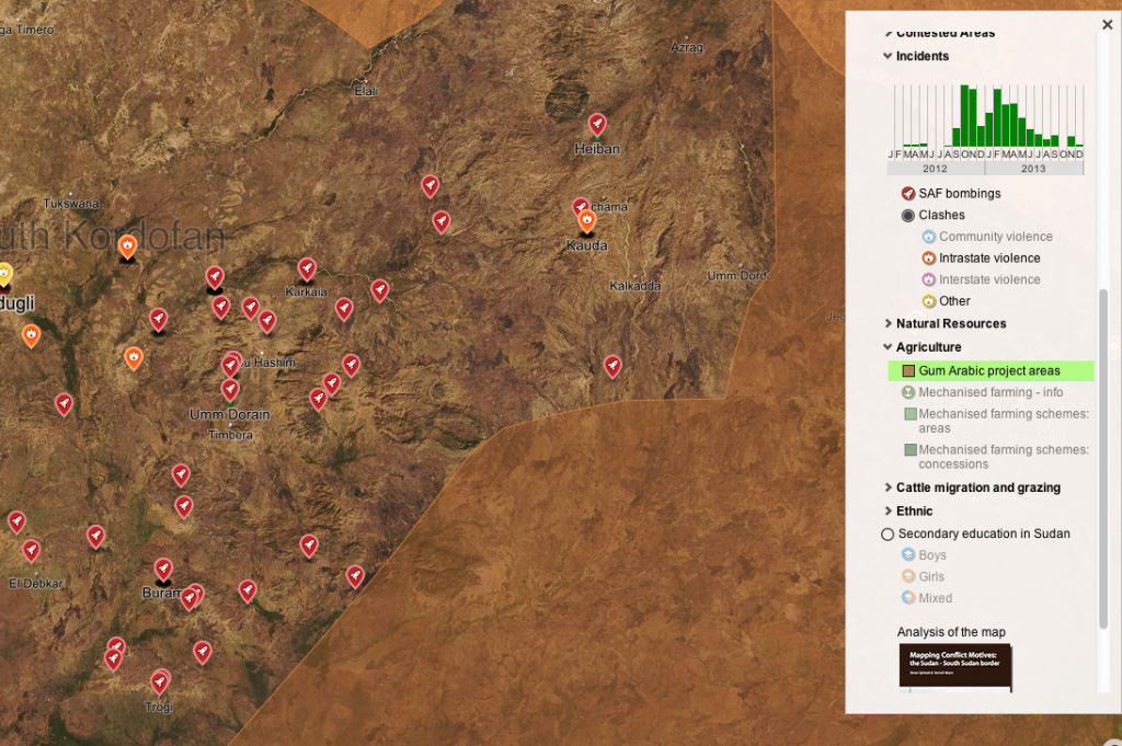
Together with this text, a series of maps of the area of focus is available. The web maps include information on security incidents, cattle migration, natural resources and agriculture, amongst a number of other features. They are an integrated part of the research methodology and have been a crucial source for IPIS’ analysis.
This study was made possible by the financial contribution of the Belgian Ministry of Foreign Affairs.
Download in pdf or open with issuu reader.
Click on the map to consult the interactive web map: