Analysis of the interactive map of artisanal mining areas in eastern DR Congo – 2015 update
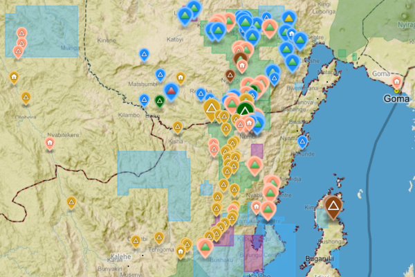
October 25, 2016The Belgian research group IPIS has collected data on 2026 artisanal mining sites in eastern DRC over the last couple of years. IPIS observed an armed presence in more than half of the mines. In an interactive map, updated in 2015, IPIS provides information about the on-site presence of armed groups and the Congolese army (FARDC) as well as indicators of the relative importance of the site. It als

IPIS Insights: Diamonds in the Central African Republic
December 22, 2014Since May 2013 the Central African Republic has been suspended from the Kimberly Process (KP) – a measure maintained by the mechanism’s annual plenary in Guangzhou, China, this November. The CAR’s transitional authorities have been seeking at least a partial lifting of this export ban so that the country might benefit from the much needed revenues its diamonds can generate.1 However, the authoriti

Mapping Conflict Motives: the Central African Republic (2012-2014)
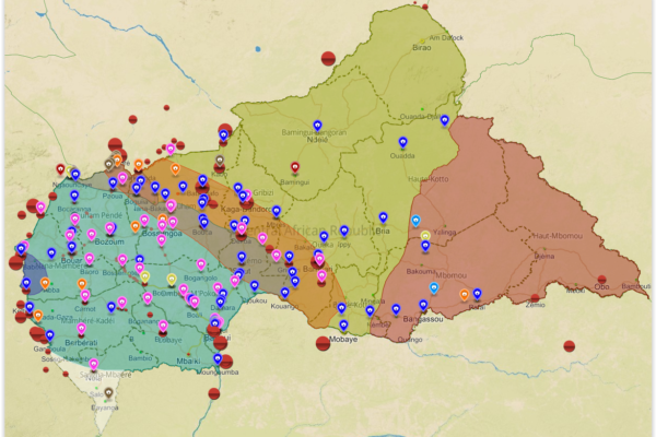
November 21, 2014In this study, IPIS analyses the conflict dynamics in the Central African Republic (CAR) since the outbreak of the latest crisis in September 2012 up to September 2014. The analysis specifically looks into the motivations and interests of the main conflict parties, Seleka and anti-balaka, and the influence and interests of neighbouring countries. The report covers the following key questions. What

Analysis of the interactive map of artisanal mining areas in Eastern DRC – May 2014 Update
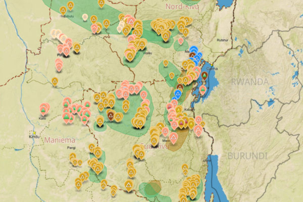
April 30, 2014In collaboration with the Congolese mining cadastre (CAMI), mining service SAESSCAM and representatives from local civil society organisations, IPIS organised a series of field visits to monitor artisanal mining activities and the involvement of armed groups and criminal networks in mineral exploitation and trade. This resulted in the publication of an interactive web map providing information on

Mapping Conflict Motives: the Sudan – South Sudan border
January 23, 2014In “Mapping Conflict Motives: the Sudan-South Sudan border”, IPIS analyses the conflict dynamics in the wider border area spanning Sudan and South Sudan. The analysis specifically looks into the motivations and interests of the parties involved in the interstate, intrastate and local conflicts in this area. The report covers the following key questions: Where are conflict parties focussing their e

