
Artisanal mining plays a major role in the local economy of the Democratic Republic of Congo. For large sections of the population, it is a vital source of income and livelihood, in a context characterised by unemployment and a scarcity of economic opportunities in the formal sector. Hundreds of thousands of artisanal miners, traders and informal workers are involved in activities such as the extraction, washing, concentration, transport and trade of minerals. This activity makes a significant contribution to supplying international markets, whilst ensuring the economic survival of many families.
However, this sector faces numerous challenges, including a legal framework undermined by the prevalence of informal practices, human rights violations and environmental impacts.
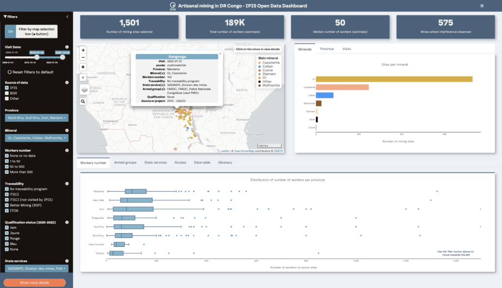
To gain a better understanding of the sector and its challenges, IPIS and several technical departments within the Ministry of Mines have been collaborating for 15 years to collect primary data in the field, particularly in the east and south of the country. IPIS has endeavoured to make this data freely available as open data. This data is accessible not only to the authorities, but also to researchers, journalists and the general public for research and understanding.

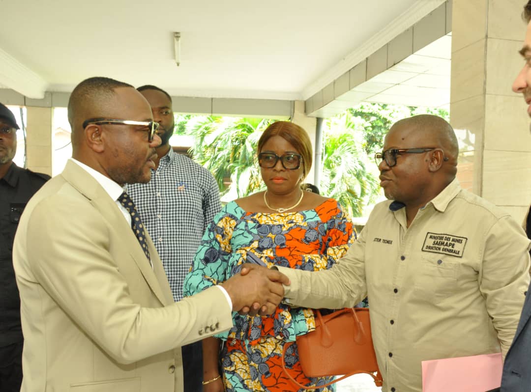
The Director-General of the Service d’Assistance et d’Encadrement de l’Exploitation Minière Artisanale et à Petite Échelle (SAEMAPE), Jean Paul Kapongo Kadiobo, emphasises that:
“This joint initiative aims not only to gain a better understanding of the dynamics surrounding the artisanal and small-scale mining (ASM) sector, but also to make reliable and accessible information available to the general public, in particular through the publication of interactive maps.”
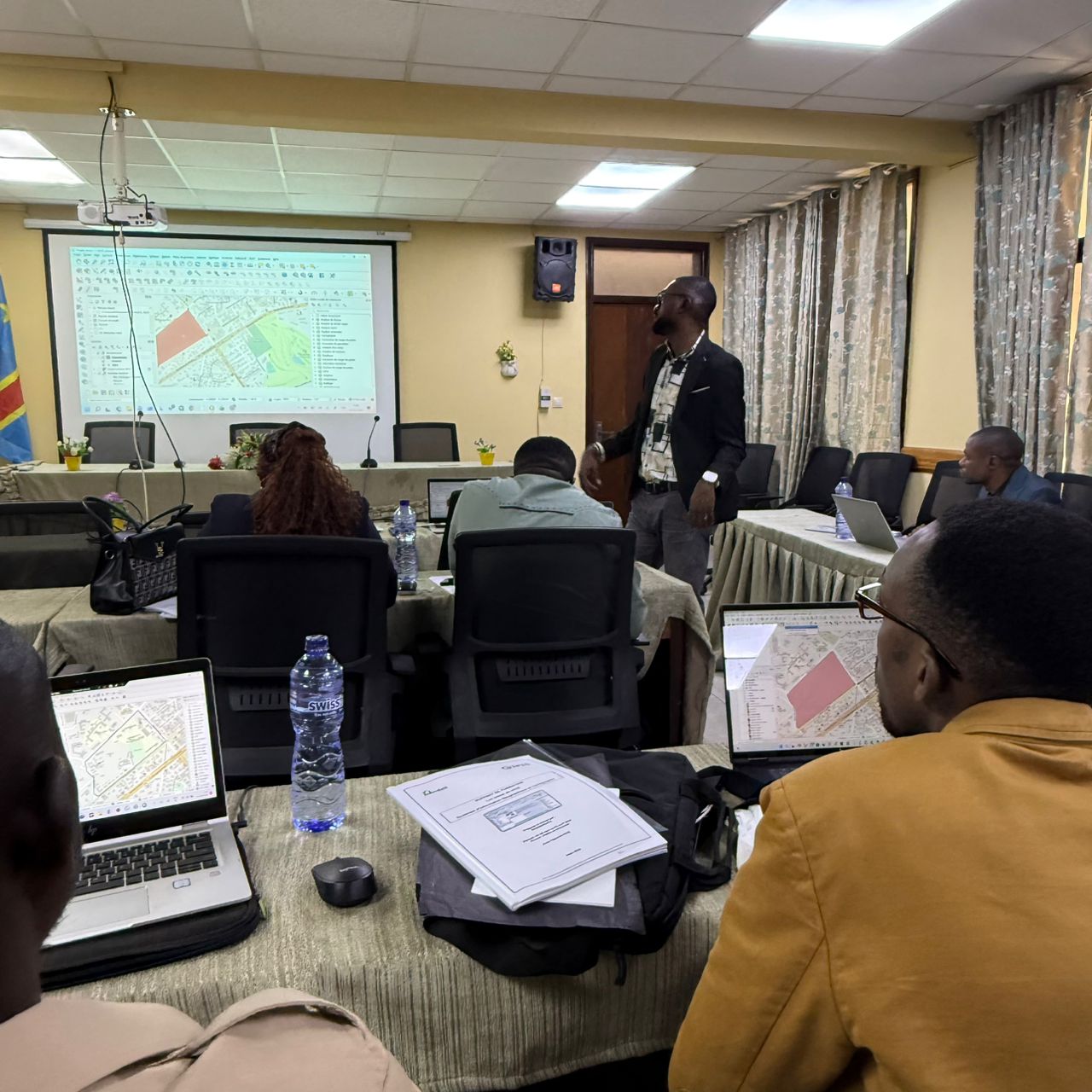
From 30 March to 2 April 2026, SAEMAPE and IPIS jointly organised a technical workshop to build the mapping capacities of staff from SAEMAPE and other mining agencies, such as the Mining Cadastre (CAMI) and the National Geological Survey (SGN-C). This workshop will be followed by further joint training sessions to enhance the technical skills of the Ministry’s experts in the use of modern geospatial analysis tools and to contribute to the effective management of primary data on mineral resource exploitation.

“In a context where the sector’s overall policy is based on the transition from artisanal mining to small-scale mining through formalisation, proficiency in geospatial information management tools is one of the essential pillars of planning and decision-making. This initiative is therefore of paramount importance for the future of the ASM sector, which we are responsible for regulating.”
Jean Paul Kapongo Kadiobo, Director-General of SAEMAPE
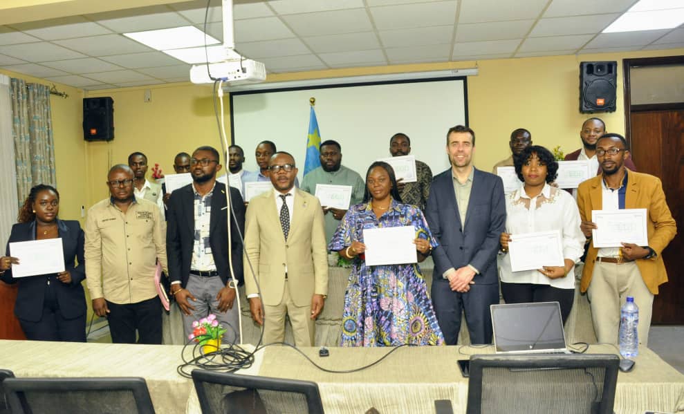
This successful initiative was made possible thanks to financial support from the Foreign, Commonwealth & Development Office (FCDO) and technical support from ECOGEODATA.