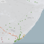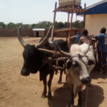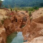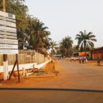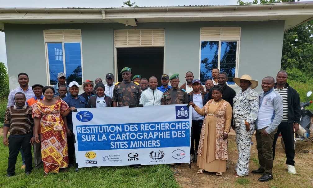
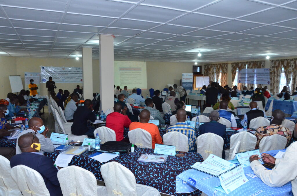
Workshops to present the results of the mapping of artisanal mining sites carried out in Ituri
Following this research, the results were presented in workshops in the above-mentioned territories to mining monitoring committees and project stakeholders in August 2025, facilitated by the IPIS focal point, Justice Plus staff and the IPIS research team. The aim of these feedback sessions was to share the results of our research with local actors in order to make them more accessible, enable them to contribute to the exchanges and discussions, enrich them if necessary, and take ownership of and validate the results of the reports.
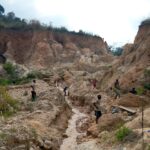
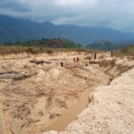
“The Blue Mine” as a new status for qualifying mine sites in DRC. The result of successful advocacy by the Madini Project
On November 12th 2021, the National Minister of Mines of the Democratic Republic of Congo (DRC), Madam Antoinette N’Samba Kalambayi, signed the ministerial decree instituting

IPIS welcomes University of Antwerp Summer School for workshop on artisanal diamond mining
On August 28th, 2019, 21 students from the University of Antwerp’s ‘Mine to Finger’ Summer School on diamonds were engaged on “The use of digital
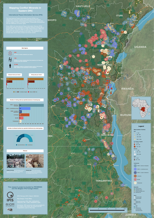
Working on conflict mapping through GIS – A goodbye from our latest GIS intern
I arrived at IPIS in January of this year with the purpose to further improve my GIS skills and work on the topic of conflict