Responsible mining scorecard in eastern DRC
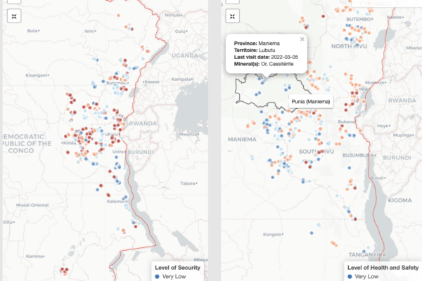
31 août 2022Over the years, IPIS has systematically collected mine site and trade hub level data on artisanal and small-scale mining (ASM) in eastern DRC. This data collection has enabled IPIS to generate a sizable database of more than 3,000 ASM sites that draws both on sites visited by IPIS and data from third party sources including the Congolese mining cadastre and the Mini
A fault confessed is half redressed: Glencore pleads guilty
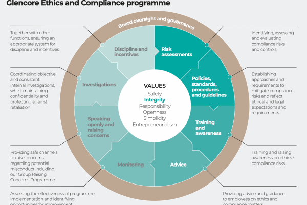
27 juin 2022IPIS Briefing – June 2022 On the 24th May 2022, the Justice Department of the United States announced that Glencore pleaded guilty for foreign briberies and Market Manipulation Schemes in violation of the Foreign Corrupt Practices Act and had accepted a USD 1.1 billion settlement. The same day, Glencore Energy UK Limited also made public that it would plead guilty in the invest
« La mine bleue », un nouveau statut pour les sites miniers qualifiés en RDC. Le résultat d’un plaidoyer réussi par le Projet Madini
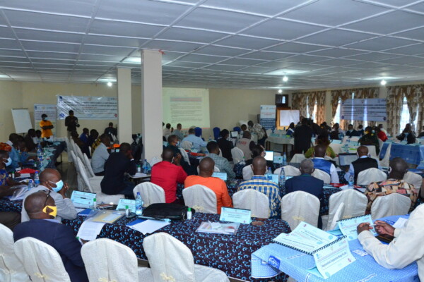
23 novembre 2021Le 12 novembre 2021, la Ministre Nationale des Mines de la République Démocratique du Congo (RDC), Madame Antoinette N’Samba Kalambayi, a signé l’arrêté ministériel instituant un nouveau statut pour la qualification/validation des sites miniers artisanaux : le Statut Bleu. La qualification et la validation des sites miniers (conformément au mécanisme de certification régional de la CIRGL) est un p
New large-scale mapping project of artisanal and small-scale mining in eastern DRC launched
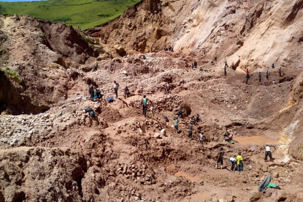
10 novembre 2021Over the next two years, IPIS – in partnership with USAID, Tetra Tech and the Congolese Ministry of Mines (SAEMAPE) – will undertake a large-scale mapping effort of artisanal and small-scale mining sites in the eastern Democratic Republic of Congo (DRC), with the aim to provide observers, suppliers and policymakers with reliable data to understand artisanal mineral supply chains and conflict finan

Story map of ASM sites in the DRC
6 octobre 2020Explore IPIS’ web map of the eastern Democratic Republic of the Congo (DRC) with a guided narrative In its new story map, IPIS presents data gathered on eastern DRC’s artisanal mining sector and highlights key information from its reports investigating the interactions between natural resources and conflict dynamics in the region. Data was gathered on around 2,700 mining sites, and the principal m
Plateforme de suivi des incidents issus de l’artisanat minier dans l’est de la RDC.
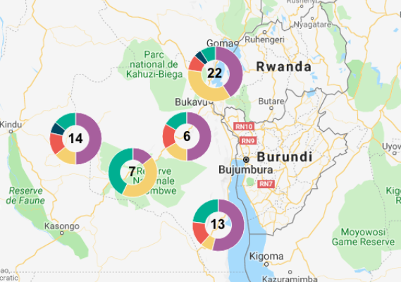
13 juin 2019Depuis fin 2018, témoins et victimes peuvent rapporter les incidents et accidents en lien avec la production, le transport et le commerce de minéraux issus de l’artisanat minier ayant lieu dans les provinces du Sud-Kivu et d’Ituri, dans l’est de la RDC. En collaboration avec Ulula et le Centre d’Expertise en Gestion Minière (CEGEMI) basé à Bukavu, IPIS a développé un nouveau système anonyme de sig
Working on conflict mapping through GIS – A goodbye from our latest GIS intern
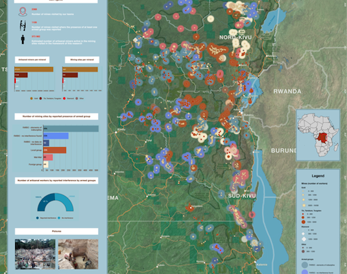
29 mai 2019I arrived at IPIS in January of this year with the purpose to further improve my GIS skills and work on the topic of conflict mapping. Entering the IPIS premises and meeting the staff, my first impression of IPIS was that of a friendly and professional organization. They are lucky enough to be housed in an old monastery which seems like a small oasis in the middle of the loud and crowded city. Tha

Kufatilia : un nouveau système de Suivi des Incidents de l’Or (SIOr)
4 décembre 2018« Aujourd’hui un éboulement a fait un mort dans un site minier artisanal près de Numbi. » Voici le type d’information que reçoivent régulièrement par SMS les organisations de la société civile congolaise qui luttent chaque jour pour améliorer les conditions de vie des artisans miniers dans l’Est de la République Démocratique du Congo. Depuis quelques semaines au Sud-Kivu et en Ituri, il est désorm
Training and workshop on mapping artisanal mining in Eastern DRC
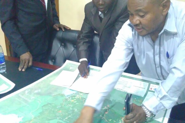
9 février 2018(French version below) 2373 Mining sites visited, including 470 visits in the last thirteen months. 300 Roadblocks visited on a total of 798 mapped roadblocks. More than 18 000 km travelled by plane, bus, motorbikes and by foot… These are a few of the impressive results achieved by the twelve IPIS researchers in Eastern DRC. Late January, a workshop held in Goma gave IPIS researchers an opportun
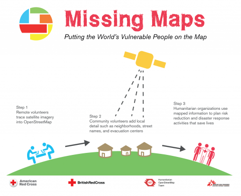
Missing Maps Mapathon / Wednesday, 26 October 2016
4 octobre 2016IPIS, Missing Maps and OpenStreetMap Belgium organise another Missing Maps MAPATHON on Wednesday October 26, at the IPIS library! IPIS Research and Openstreetmap Belgium invite you to come map for the Missing Maps project with us. By doing so, you will learn how to create the open maps that make the work of NGOs like Doctors Without Borders or IPIS Research easier. After the event, you will be abl
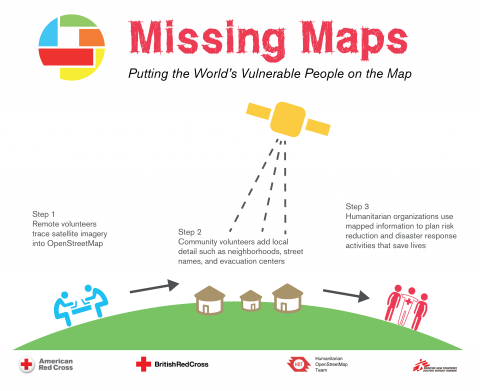
Missing Maps mapathon / Wednesday, 29 June 2016
8 juin 2016IPIS, Missing Maps and OpenStreetMap Belgium organise another Missing Maps MAPATHON on Wednesday, June 29, at the IPIS library! IPIS Research and Openstreetmap Belgium invite you to come map for the Missing Maps project with us. By doing so, you will learn how to create the open maps that make the work of NGOs like Doctors Without Borders or IPIS Research easier. After the event, you will be able
Missing Maps mapathon / Wednesday, 23 March 2016
17 février 2016IPIS, Missing Maps and OpenStreetMap Belgium organise the mapping event ‘Missing Maps mapathon’ on Wednesday March 23 at the IPIS library! IPIS Research and Openstreetmap Belgium invite you to come map for the Missing Maps project with us. Doing so, you will learn how to create the open maps that make the work of NGOs like Doctors Without Borders or IPIS Research easier. After the event, you will
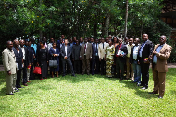
Presentation of SAESSCAM database on Artisanal and Small-scale Mining
26 novembre 2015From November 17 to 19, IPIS presented its work during a multi stakeholder meeting in Kinshasa as part of a project to support artisanal and small scale mining in DRC. In partnership with Pact and Estelle Levin LTD, IPIS has provided capacity reinforcement for the Service d’Assistance et d’Encadrement du Small Scale Mining (SAESSCAM), a governmental agency. IPIS focused on reviewing existing data
COMING SOON! Missing Maps mapathon / Wednesday, 9 December 2015
12 novembre 2015IPIS, Missing Maps and OpenStreetMap Belgium organise the mapping event ‘Missing Maps mapathon’ on Wednesday December 9th at the IPIS library! The Missing Maps project is an open collaboration between the Humanitarian OpenStreetMap Team (HOT), Doctors without Borders UK, and the British and American Red Cross. The goal of the project is to map the areas of the world that are the most sensitive to
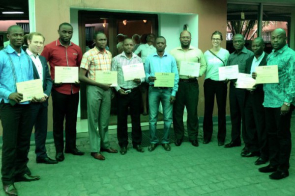
Renforcement des capacités en gestion de données
24 juillet 2015English version below. Du 19 au 23 juillet 2015, l’Equipe d’IPIS a organisé une formation à Kinshasa destinée aux agents de la Division des Mines, du Cadastre Minier et du Service d’accompagnement et d’encadrement du Small-scale mining (SAESSCAM). Cette formation de quatre jours a permis de renforcer les capacités des membres de ces organisations gouvernementales notamment dans les d
Exploitations artisanales et à petite échelle en RD Congo
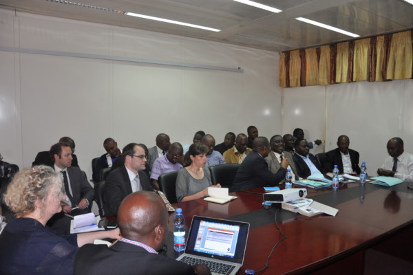
1 avril 2015Launching ceremony of the artisanal and small scale mining project with Pact, ELL and IPIS in Kinshasa. Picture by Pact. – English below – Du 23 au 26 février, IPIS a participé au séminaire de lancement d’un nouveau projet « d’Elaboration d’un document stratégique sur les exploitations artisanales et à petite échelle ». En partenariat avec Pact et Estelle Levin LTD, IPIS travaille au renforcement de