
Publications
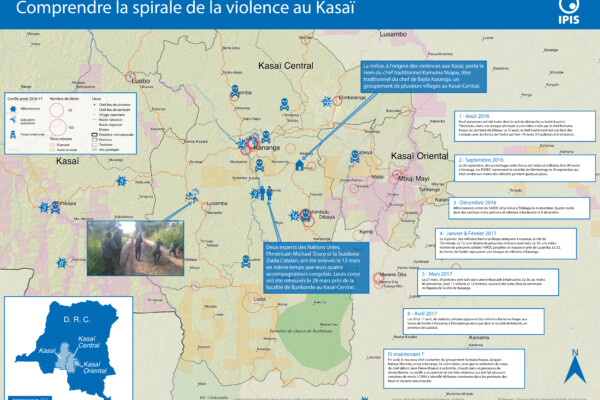
Comprendre la spirale de la violence au Kasaï (2017)
- Alexandre Jaillon | April 25, 2017
Le Kasaï Central et trois autres provinces voisines sont en proie à des violences mêlant miliciens, policiers et soldats et ayant fait, selon un rapport récent des Nations Unies, plus de 200 morts. Depuis septembre, un soulèvement des partisans du chef coutumier Kamwina Nsapu, tué en août par les forces de l’ordre après s’être rebellé contre les autorités congolaises, a embrasé la région. L’ONU a
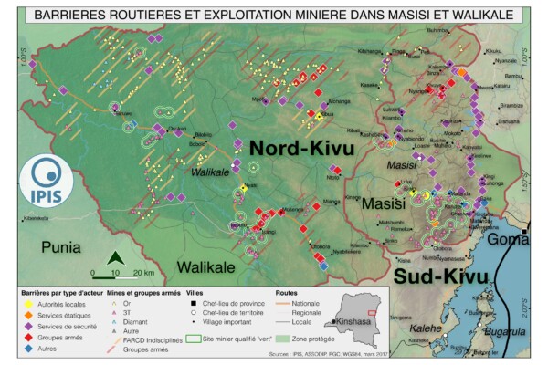
Pillage route: l’économie politique des barrages routiers à Walikale et Masisi (2017)
- Alexandre Jaillon, IPIS, Janvier Murairi, Peer Schouten (DIIS/IPIS), Saidi Kubuya Batundi | March 31, 2017
French version below – version française ci-dessous Roadblocks are a ubiquitous phenomenon in Eastern Congo. In an effort to map the scope of this phenomenon as well as its significance in the political economy of conflict, IPIS has embarked on a collaboration with the Danish Institute for International Studies. The point of departure is that control over the circulation of people and valua

North Kivu Province – A0 Map
- Alexandre Jaillon | March 5, 2017
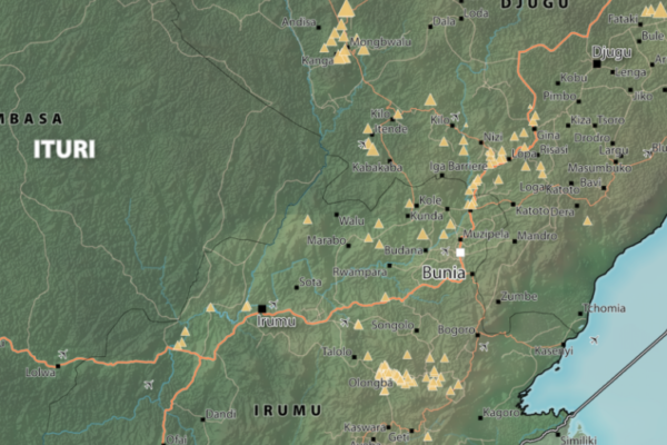
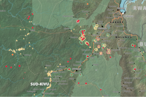
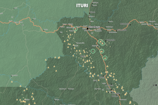
Map of Mambasa Territory
- Alexandre Jaillon | January 11, 2017
Territory of Mambasa, Province of Ituri, DRC (Detail)
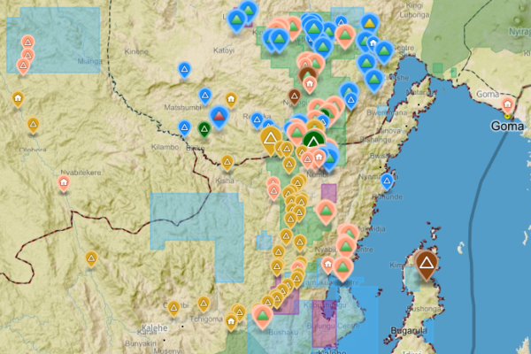
Analysis of the interactive map of artisanal mining areas in eastern DR Congo – 2015 update
- Ken Matthysen, Lotte Hoex, Yannick Weyns | October 25, 2016
The Belgian research group IPIS has collected data on 2026 artisanal mining sites in eastern DRC over the last couple of years. IPIS observed an armed presence in more than half of the mines. In an interactive map, updated in 2015, IPIS provides information about the on-site presence of armed groups and the Congolese army (FARDC) as well as indicators of the relative importance of the site. It als
Third Party Review of the Bisie Security Report
- IPIS | July 19, 2016
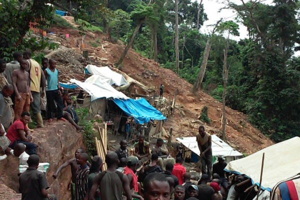
The so-called ‘Bisie Mineral Stock’ encompasses about 1,000 tons of cassiterite, extracted by artisanal miners at Bisie mines between November 2010 and June 2015. A number of bans on mining and mineral trade in this region, as well as some hesitance further down the supply chain to buy untagged minerals, meant that mineral production was not marketed, but stored in warehouses. From 2014 onwards, n

Coloured gemstones in eastern DRC: Tourmaline exploitation and trade in the Kivus
- IPIS | May 11, 2016
Responsible sourcing efforts in the Democratic Republic of Congo (DRC) to date have focused predominantly on the so-called 3TG (tin, tungsten, tantalum and gold) sector. Nevertheless, the artisanal exploitation of other minerals including semi-precious gemstones, such as tourmaline, can also make notable contributions to local livelihoods […]
Extractive Orders: a political geography of public authority in Ituri, DR Congo
- Peer Schouten (DIIS/IPIS) | April 19, 2016
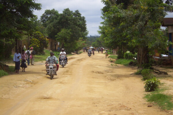
Public authority is an essentially contested concept in the Democratic Republic of Congo (DRC). Not only is the ‘state of the state’ subject to profound disagreement in academic debates, but public authority on the ground is also the focal point of heated contestation. While some argue that the DRC does not exist as a state from the perspective of normative understandings of statehood, others argu
Mineral supply chains and conflict links in eastern democratic republic of congo
- Fiona Southward | November 25, 2015
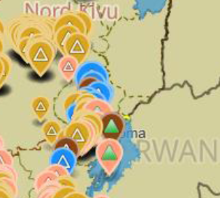
Between 2009 and 2010 IPIS collected data on over 550 mining sites as part a conflict mapping exercise focusing on Eastern Democratic Republic of Congo (DRC). With the collaboration of Congolese researchers, IPIS collected the coordinates of the most important mining sites and information on on-site security in North and South Kivu provinces, Maniema, Northern Katanga and southeast Province Orient
Maniema province – A0 map (2015)
- Alexandre Jaillon | June 4, 2015
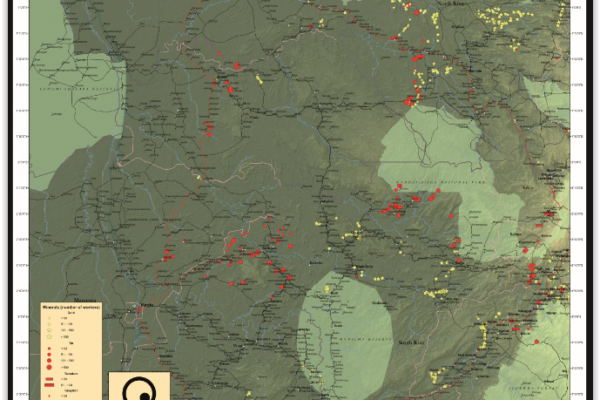
This is an A0 map of the Lubutu, Punia and Pangi Territories in Maniema Province, DRC
The Right to Water and Sanitation: A Practical Guide
- Andrés Zaragoza Montejano, Evie Francq, Francesca Restifo, Gabriella Wass, Jean-Benoit Charrin | June 1, 2015
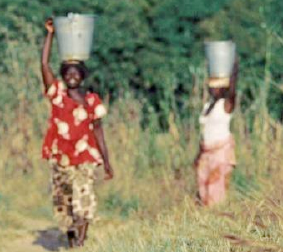
This guide is designed to raise awareness on the importance of the right to water and sanitation. It is addressed to those who work at the grassroots, and aims at helping them with practical ways to address the challenges of poverty and water issues. The guide adopts a bottom-up approach to highlight the steps that citizens and communities can take together with governments to address water and sa
Idjwi Territory – A0 Map
- Alexandre Jaillon | March 5, 2015
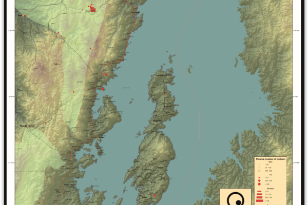
Idjwi Territory, South Kivu Province, DRC Idjwi Territory, South Kivu Province, DRC (Detail)
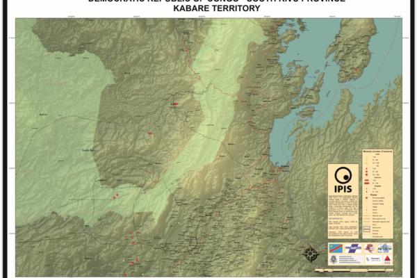
Kabare Territory, South Kivu – A0 Map
- Alexandre Jaillon | March 5, 2015
Kabare Territory, South Kivu Province, DRC Kabare Territory, South Kivu Province, DRC (Detail)
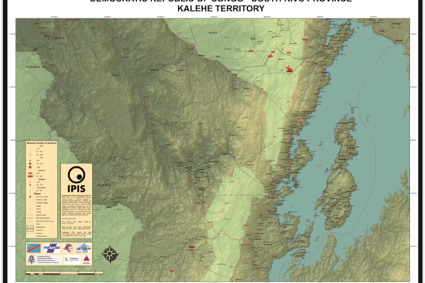
Kalehe Territory – A0 Map
- Alexandre Jaillon | March 5, 2015
Kalehe Territory, South Kivu Province, DRC Kalehe Territory, South Kivu Province, DRC (Detail)
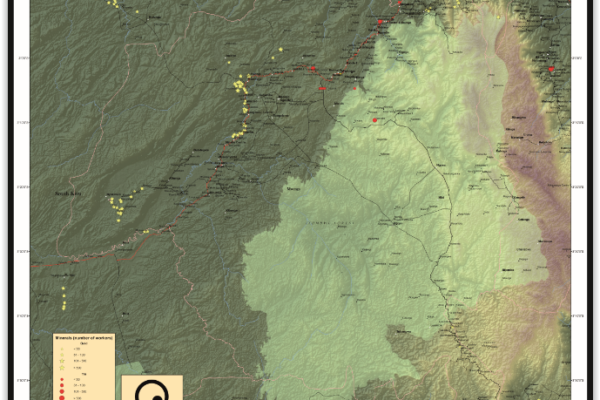
Mwenga Territory – A0 Map
- Alexandre Jaillon | March 5, 2015
Mwenga Territory, South Kivu Province, DRC Mwenga Territory, South Kivu Province, DRC (Detail)
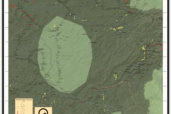
Shabunda Territory – A0 Map
- Alexandre Jaillon | March 5, 2015
Shabunda Territory, South Kivu Province, DRC Shabunda Territory, South Kivu Province, DRC (Detail)
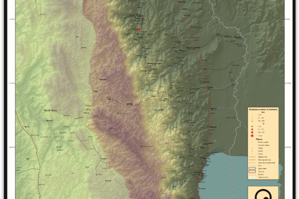
Uvira Territory – A0 Map
- Alexandre Jaillon | March 5, 2015
Uvira Territory, South Kivu Province, DRC Uvira Territory, South Kivu Province, DRC (Detail)
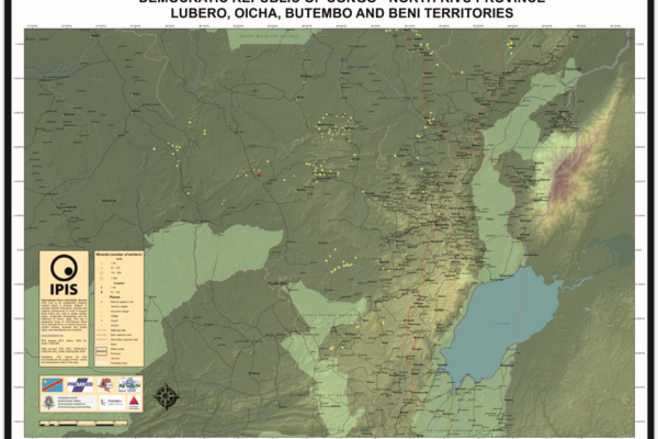
Lubero, Oicha, Butembo and Beni Territories – A0 Map
- Alexandre Jaillon | December 5, 2014
Lubero, Oicha, Butembo and Beni Territories, North Kivu Province, DRC Lubero, Oicha, Butembo and Beni Territories, North Kivu Province, DRC (Detail)