I started my six-month internship as a GIS & Data Analysis Intern in September 2023. As a German bachelor student in Geography, with a specific interest in Sub-Saharan Africa, IPIS offered the perfect intellectual space to evolve my passion for conflict mapping and analysis. After being heartily welcomed in the old monastery in Antwerp, I received comprehensive training in the essential applications including a tutorial on utilising IPIS functions and scripts in R for analysing field data, workflows, and IPIS policies.
I was quickly integrated into the GIS & Data team’s daily tasks and was able to contribute to various projects, including tasks like: remote sensing, data analysis and visualisation and conflict mapping.

By doing so, I was in close exchange with the entire GIS team, as well as directly engaging with other IPIS researchers to visualize their findings effectively. The direct exchange and feedback helped me to improve my GIS skills and led to a better understanding of IPIS’ work and the conflict dynamics in the mineral sector in central Africa.
During my internship, I also had the opportunity to participate in the IPIS event and another project-related presentation in Brussels. This experience provided me with valuable insights into the NGO and EU networking environment.

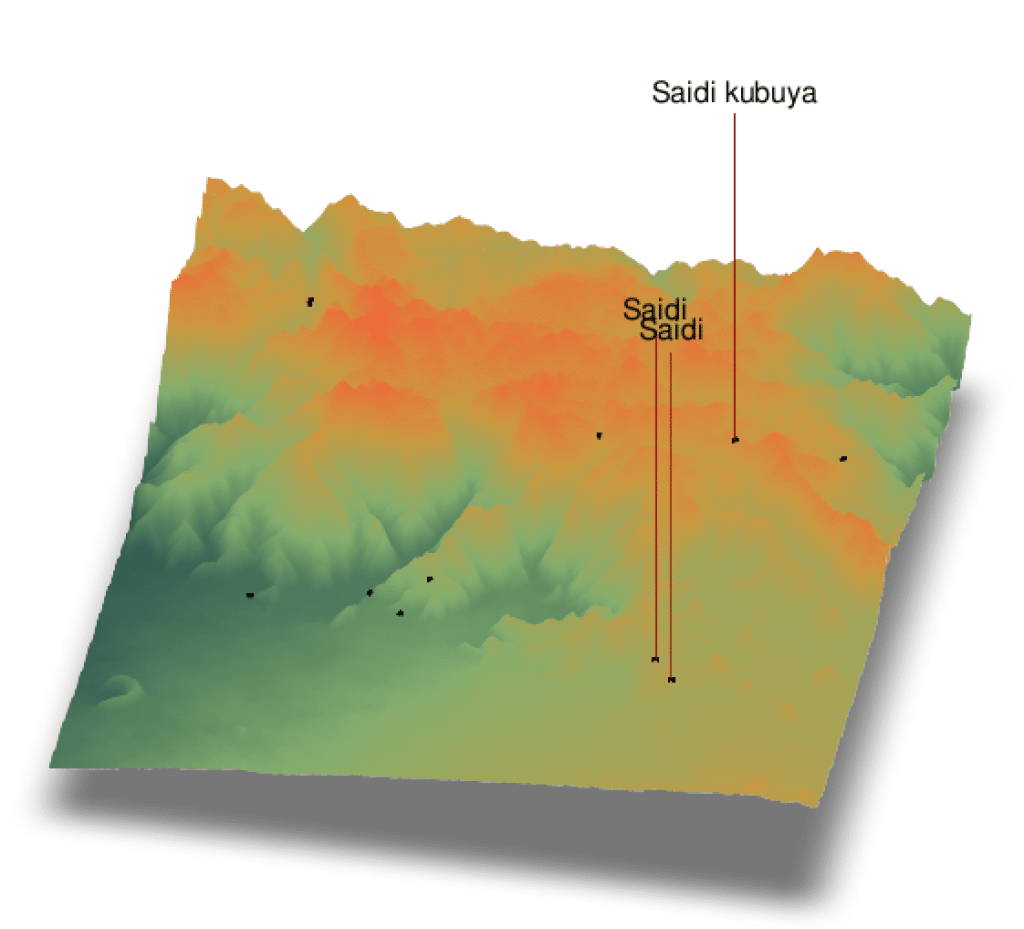
The two GIS & Data Researchers, Thomas and Stefaan always had plenty of work for me and challenged me with various new fields to work on. Through that, I significantly improved my technical and analytical skills in various data science domains, but I also had enough time to explore new tools such as 3D mapping with Rayshader and Blender. Furthermore, I had my own long-term project where I georeferenced (QGIS) the smallest administrative boundaries in eastern DRC from historical maps to be able to better localise areas of interest in the eastern provinces.
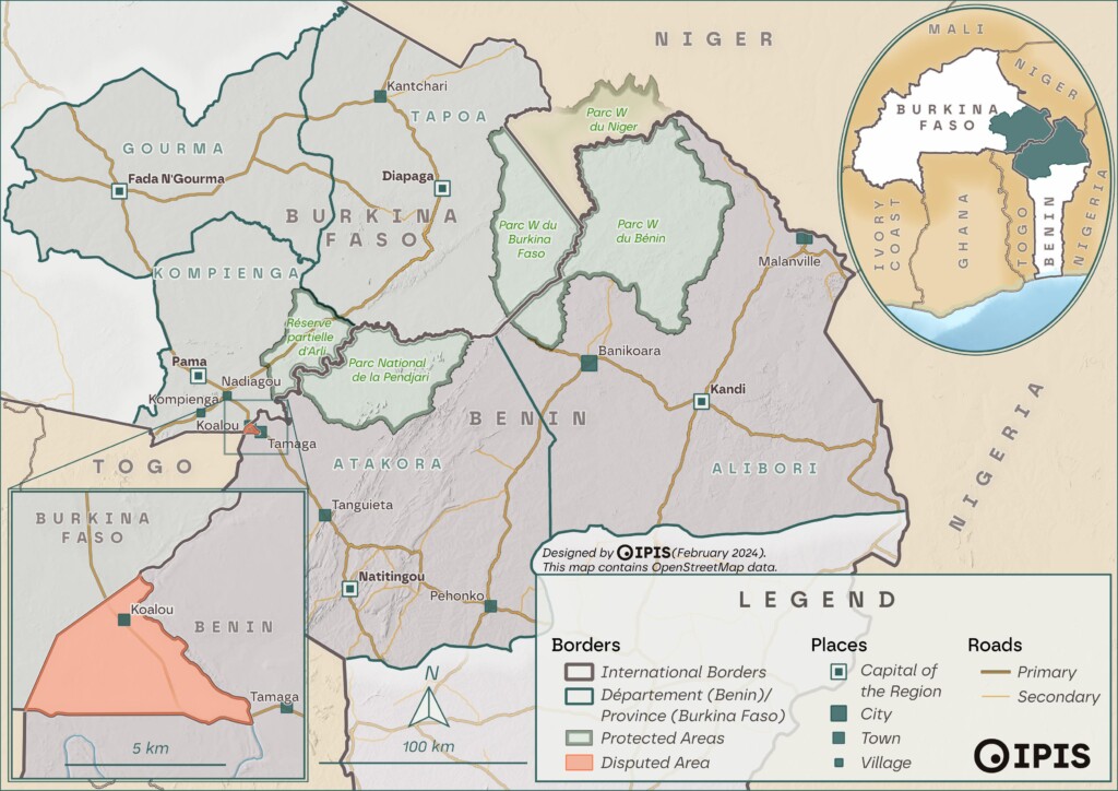
In addition, I had the opportunity to be remotely involved in a field mission to Benin. During this mission, I created exploratory maps with relevant information and regularly updated and integrated feedback from the team in Benin.
As I arrived during a time of rebranding at IPIS, I was able to contribute my ideas and designs to the new IPIS branding. This included updating and creating maps with the new styling, redesigning all IPIS RShiny dashboards in CSS, and assisting with the IPIS website (WordPress).
Finally, I want to express my gratitude to the entire team, and in particular to Thomas and Stefaan, for offering such a diverse internship experience and encouraging work environment. The internship surpassed my expectations and solidified my determination to pursue a career in the NGO sector focusing on conflict mapping.
– Simon Schweitzer


