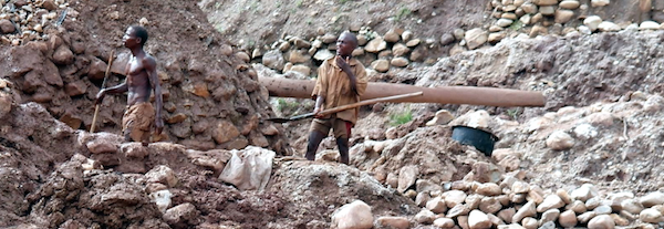
Review of the Burundian Artisanal Gold Mining Sector
April 22, 2015Burundi is located in the centre of Africa’s Great Lakes Region, a region that has seen a gold rush during the last decade, with both artisanal and industrial mining operations expanding substantially in neighbouring Tanzania and the DR Congo (DRC). At the same time, the illegal taxation and trade of artisanal gold in the eastern DRC forms an increasingly important contribution to financing the pr
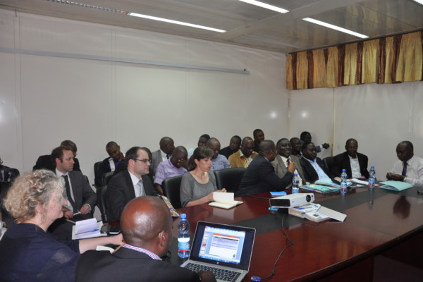
Exploitations artisanales et à petite échelle en RD Congo
April 1, 2015Launching ceremony of the artisanal and small scale mining project with Pact, ELL and IPIS in Kinshasa. Picture by Pact. – English below – Du 23 au 26 février, IPIS a participé au séminaire de lancement d’un nouveau projet “d’Elaboration d’un document stratégique sur les exploitations artisanales et à petite échelle”. En partenariat avec Pact et Estelle Levin LTD, IPIS travaille au renforcement de
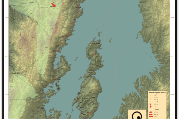
Idjwi Territory – A0 Map
March 5, 2015Idjwi Territory, South Kivu Province, DRC Idjwi Territory, South Kivu Province, DRC (Detail)
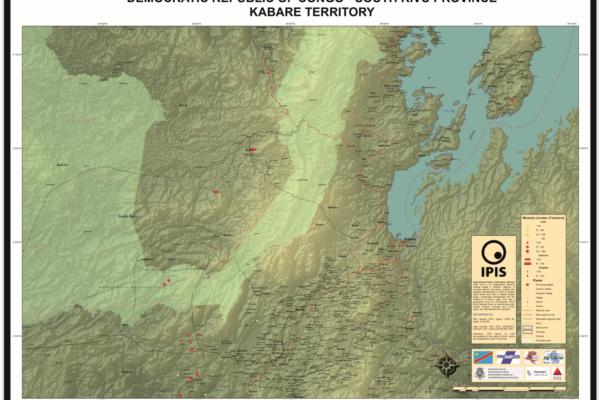
Kabare Territory, South Kivu – A0 Map
March 5, 2015Kabare Territory, South Kivu Province, DRC Kabare Territory, South Kivu Province, DRC (Detail)
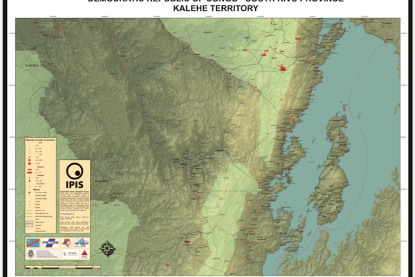
Kalehe Territory – A0 Map
March 5, 2015Kalehe Territory, South Kivu Province, DRC Kalehe Territory, South Kivu Province, DRC (Detail)
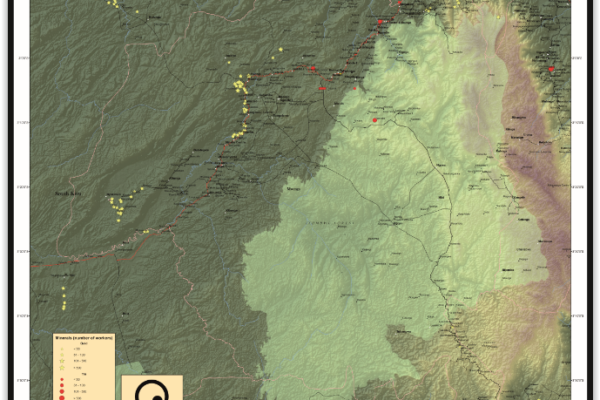
Mwenga Territory – A0 Map
March 5, 2015Mwenga Territory, South Kivu Province, DRC Mwenga Territory, South Kivu Province, DRC (Detail)
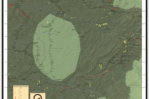
Shabunda Territory – A0 Map
March 5, 2015Shabunda Territory, South Kivu Province, DRC Shabunda Territory, South Kivu Province, DRC (Detail)
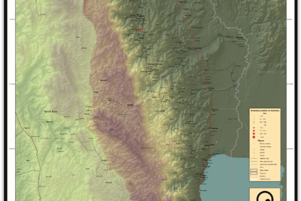
Uvira Territory – A0 Map
March 5, 2015Uvira Territory, South Kivu Province, DRC Uvira Territory, South Kivu Province, DRC (Detail)

IPIS Insights: Diamonds in the Central African Republic
December 22, 2014Since May 2013 the Central African Republic has been suspended from the Kimberly Process (KP) – a measure maintained by the mechanism’s annual plenary in Guangzhou, China, this November. The CAR’s transitional authorities have been seeking at least a partial lifting of this export ban so that the country might benefit from the much needed revenues its diamonds can generate.1 However, the authoriti
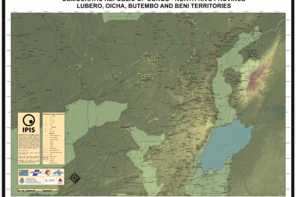
Lubero, Oicha, Butembo and Beni Territories – A0 Map
December 5, 2014Lubero, Oicha, Butembo and Beni Territories, North Kivu Province, DRC Lubero, Oicha, Butembo and Beni Territories, North Kivu Province, DRC (Detail)
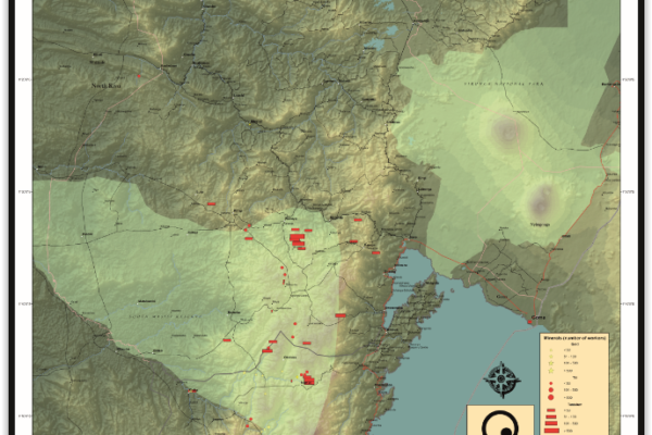
Masisi Territory – A0 Map
December 5, 2014Masisi Territory, North Kivu Province, DRC Masisi Territory, North Kivu Province, DRC (Detail)
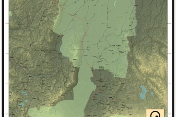
Rutshuru Territory – A0 Map
December 5, 2014Rutshuru Territory, North Kivu Province, DRC Rutshuru Territory, North Kivu Province, DRC (Detail)
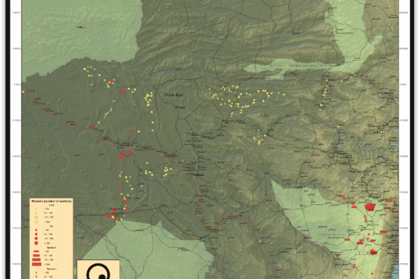
Walikale Territory – A0 Map
December 5, 2014Walikale Territory, North Kivu Province, DRC Walikale Territory, North Kivu Province, DRC (Detail)
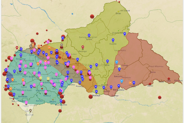
Mapping Conflict Motives: the Central African Republic (2012-2014)
November 21, 2014In this study, IPIS analyses the conflict dynamics in the Central African Republic (CAR) since the outbreak of the latest crisis in September 2012 up to September 2014. The analysis specifically looks into the motivations and interests of the main conflict parties, Seleka and anti-balaka, and the influence and interests of neighbouring countries. The report covers the following key questions. What
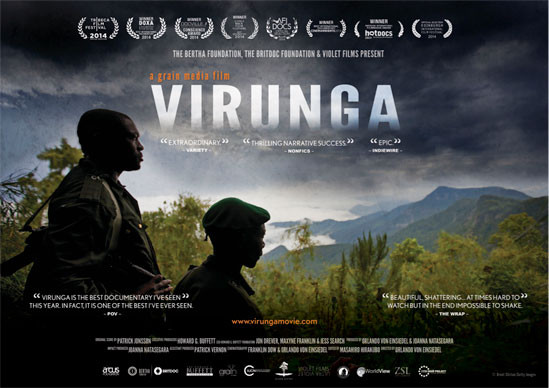
Op 17 november 2014 organiseert IPIS een voorstelling van de documentaire Virunga, in Filmhuis Klappei in Antwerpen.
November 1, 2014Virunga is een nationaal park in het oosten van de Democratische Republiek Congo. Doordat het park tegen de grens van Uganda en Rwanda ligt moeten de Afrikaanse parkwachters een grote strijd voeren. De bijna uitgestorven berggorilla’s worden namelijk bedreigd door stropers, milities en de oprukkende olie industrie. De afgelopen maanden is Virunga al op diverse filmfestivals vertoond en sleepte vij
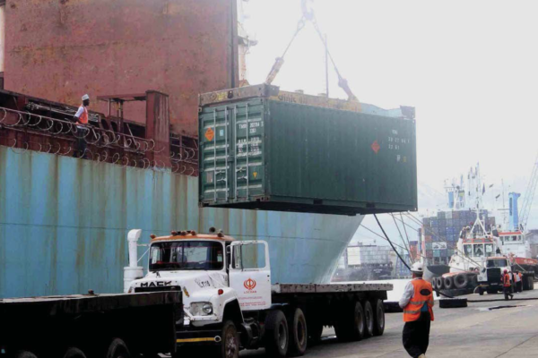
Supply Chains and Transport Corridors in East Africa
June 1, 2014Transport infrastructure plays a key role in boosting a country or region’s economic development. IPIS and TransArms have ascertained on several occasions that the underdevelopment or degeneration of transport infrastructure is a problematic issue across a number of African countries and regions. This report analyses the current logistics situation in Eastern Africa, and the logistic challenges fa
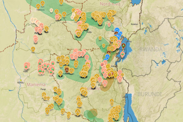
Analysis of the interactive map of artisanal mining areas in Eastern DRC – May 2014 Update
April 30, 2014In collaboration with the Congolese mining cadastre (CAMI), mining service SAESSCAM and representatives from local civil society organisations, IPIS organised a series of field visits to monitor artisanal mining activities and the involvement of armed groups and criminal networks in mineral exploitation and trade. This resulted in the publication of an interactive web map providing information on

IPIS Insights: The EU draft law on conflict minerals due diligence: a critical assessment from a business & human rights standpoint
April 4, 2014On the 5th of March 2014, the European Commission proposed a responsible trading strategy for minerals from conflict zones. The proposal took place within a specific and timely context. As IPIS has long documented, the exploitation of natural resources can have adverse human rights impacts. Businesses operating in conflict-affected or fragile regions should therefore ascertain whether their direct
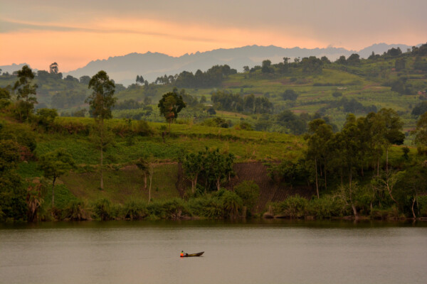
Business, Human Rights, and Uganda’s Oil – Part II: Protect and Remedy: Implementing State duties under the UN Framework on Business and Human Rights
December 18, 2013The following is the second in a series of four reports exploring business and human rights issues in Uganda’s oil sector. This series is a collaboration between IPIS vsw and ActionAid Uganda. In accordance with the UN Guiding Principles on Business and Human Rights, this second report assesses the duty of the Ugandan, British, French and Chinese States to prevent, investigate, punish and redress
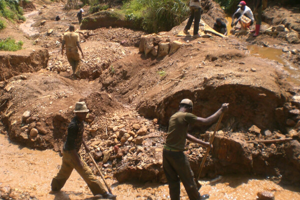
Initiatives en matière de ‘minerais de conflit’ en RD Congo: perceptions des communautés minières locales
December 16, 2013L’exploitation minière est une importante source de revenus pour de nombreuses communautés dans l’est de la République démocratique du Congo (RDC). Cette même richesse minière joue cependant aussi un rôle majeur dans la persistance de l’insécurité dans certaines parties du pays. Les revenus générés par le commerce des minerais fournissent des moyens d’opération aux groupes armés ainsi qu’un financ

