
Publications
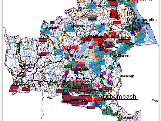
Mapping Conflict Motives: Katanga. (Update May- September 2008)
- Filip Hilgert, Steven Spittaels | January 23, 2009
This report is the third (and for the moment the last) in a series of updates following an initial report on conflict motives in the Congolese province of Katanga. It analyses the most important security developments from May 2008 until September 2008. Download in pdf or open with issuu reader. http://issuu.com/ipisresearch/docs/20090105_mapping_katanga_update3_en The web maps We have publ
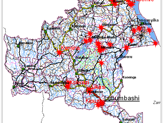
Mapping Conflict Motives: Katanga. (Update December 2007 – May 2008)
- Filip Hilgert, Steven Spittaels | June 8, 2008
This report is the second in a series of updates following an initial report on conflict motives in the Congolese province of Katanga. It analyses the most important security developments from December 2007 until May 2008. Download in pdf or open with issuu reader. http://issuu.com/ipisresearch/docs/mapping_conflict_motives-_katanga_u December 2007-May 2008 This report is the second in a se
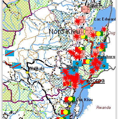
Mapping Conflict Motives: Eastern DRC (March 2008)
- Filip Hilgert, Steven Spittaels | March 4, 2008
The eastern DRC is still plagued by violent conflict. The centre of the conflict is the ‘Petit Nord’ region where two large armed groups, a coalition of smaller bands of armed men and the government army are all involved in a persisting battle causing enormous human suffering. In the neighbouring regions of the ‘Grand Nord’ and northern South-Kivu open warfare no longer takes place, but there is s
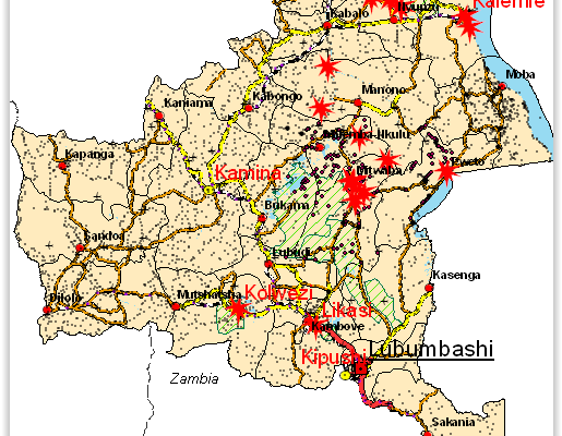
Mapping interests in conflict areas: Katanga. (Update September-November 2007)
- Filip Hilgert, Steven Spittaels | January 23, 2008
The International Peace Information Service (IPIS), a Belgium based research NGO, is a member of the Fatal Transactions consortium, which carries out the action ‘From Fatal to Fair Transactions’ with co-funding from the EU. IPIS’ contribution to this action is to develop a tool for the analysis of conflict drivers. Making use of GIS (Geographic Information Systems) software, we visualise possible
Mapping interests in conflict areas: Katanga (August 2007)
- Nick Meynen, Steven Spittaels | August 23, 2007
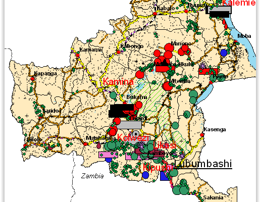
Revised version August 2007. ‘Mapping interests in conflict areas: Katanga’ reports on the presence of (ex-) combatants in the Congolese province of Katanga. It focuses on two broad categories: the ‘Forces Armées de la République Démocratique du Congo’ (FARDC) and the Mayi-Mayi militias. There is no significant presence of other armed groups in the region. After the surrender of the warlord Gédéon