Comprendre la spirale de la violence au Kasaï (2017)
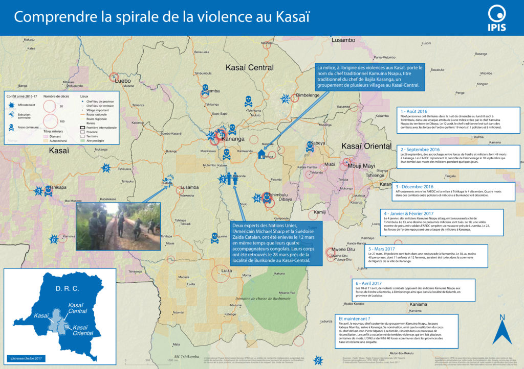
Le Kasaï Central et trois autres provinces voisines sont en proie à des violences mêlant miliciens, policiers et soldats et ayant fait, selon un rapport récent des Nations Unies, plus de 200 morts. Depuis septembre, un soulèvement des partisans du chef coutumier Kamwina Nsapu, tué en août par les forces de l’ordre après s’être rebellé […]
Pillage route: l’économie politique des barrages routiers à Walikale et Masisi (2017)
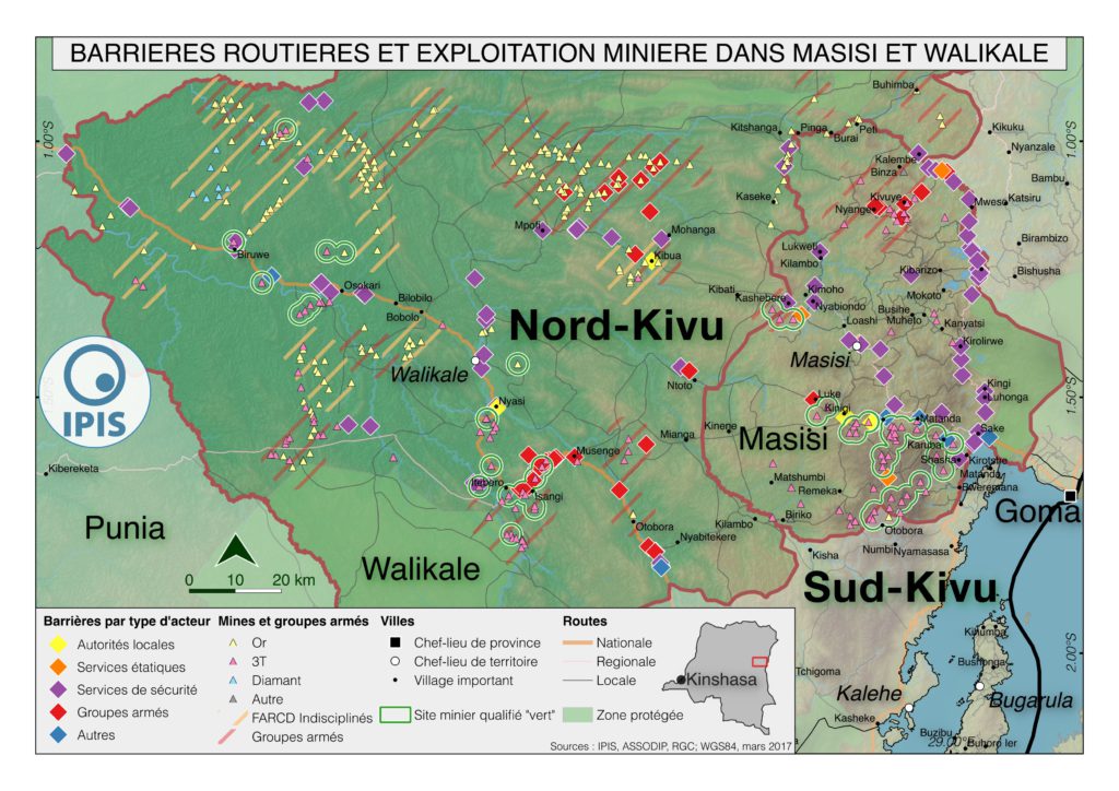
French version below – version française ci-dessous Roadblocks are a ubiquitous phenomenon in Eastern Congo. In an effort to map the scope of this phenomenon as well as its significance in the political economy of conflict, IPIS has embarked on a collaboration with the Danish Institute for International Studies. The point of departure is […]
North Kivu Province – A0 Map
Map of Ituri
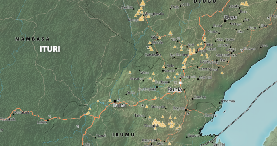
Province of Ituri, DRC (Detail)
South Kivu Province – A0 Map
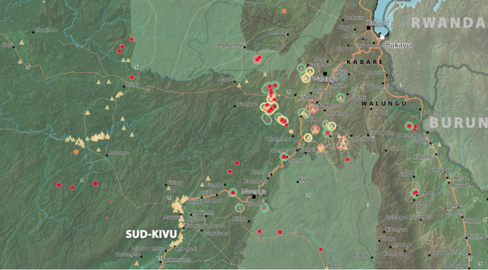
South Kivu Province, DRC (Detail)
Map of Mambasa Territory
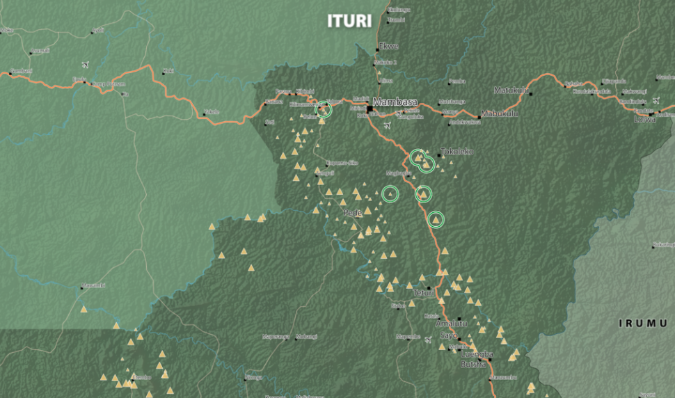
Territory of Mambasa, Province of Ituri, DRC (Detail)
Analysis of the interactive map of artisanal mining areas in eastern DR Congo – 2015 update
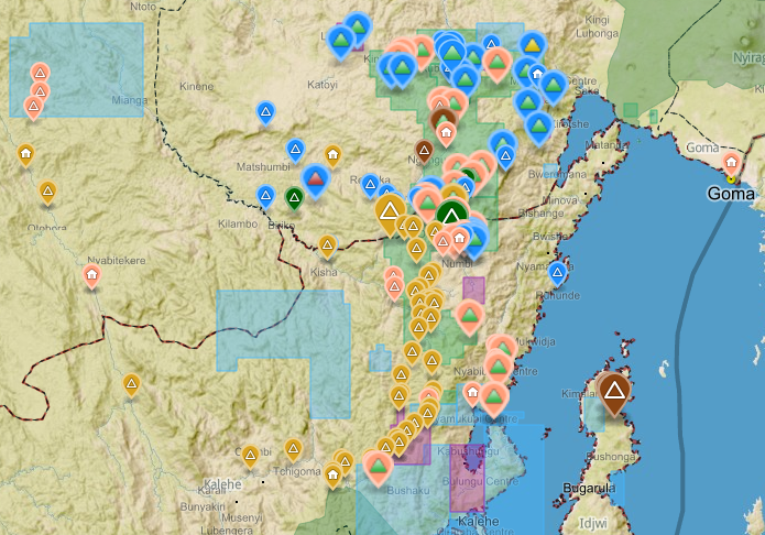
The Belgian research group IPIS has collected data on 2026 artisanal mining sites in eastern DRC over the last couple of years. IPIS observed an armed presence in more than half of the mines. In an interactive map, updated in 2015, IPIS provides information about the on-site presence of armed groups and the Congolese army […]
Maniema province – A0 map (2015)
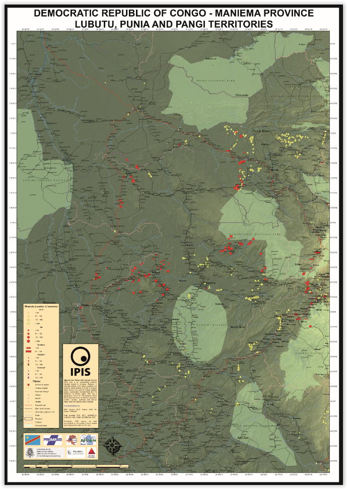
This is an A0 map of the Lubutu, Punia and Pangi Territories in Maniema Province, DRC
Idjwi Territory – A0 Map
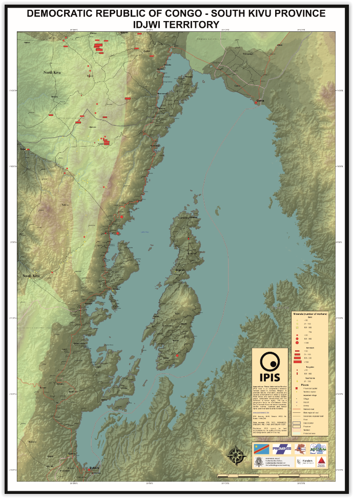
Kabare Territory, South Kivu – A0 Map

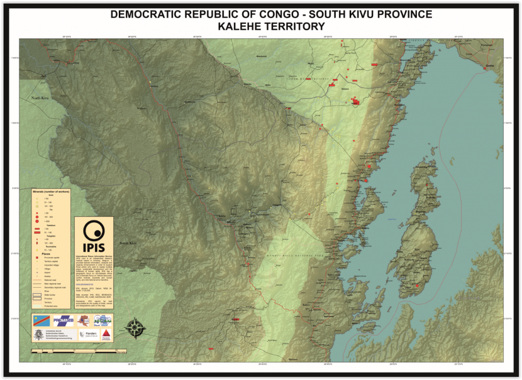
Kalehe Territory – A0 Map
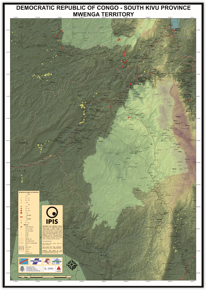
Mwenga Territory – A0 Map
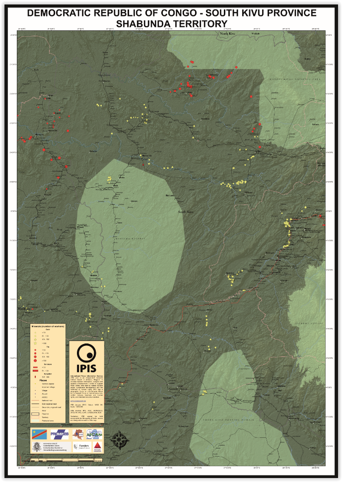
Shabunda Territory – A0 Map
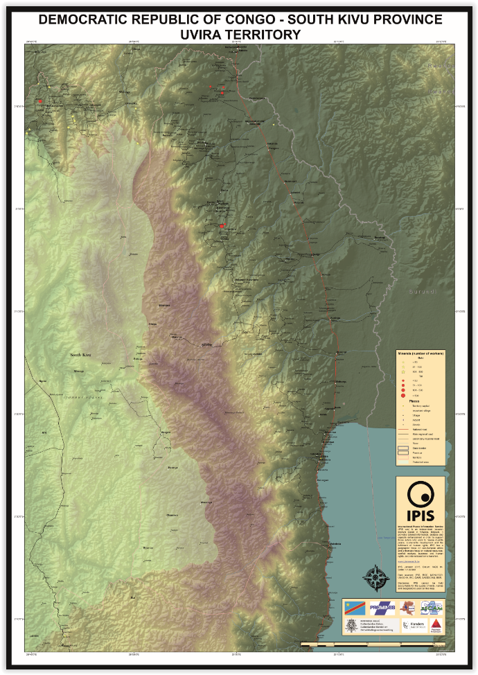
Uvira Territory – A0 Map
Lubero, Oicha, Butembo and Beni Territories – A0 Map

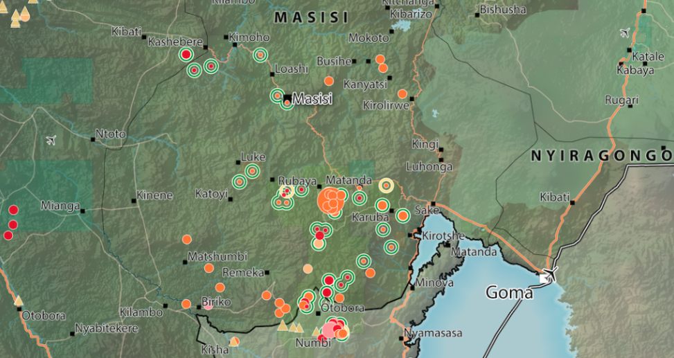
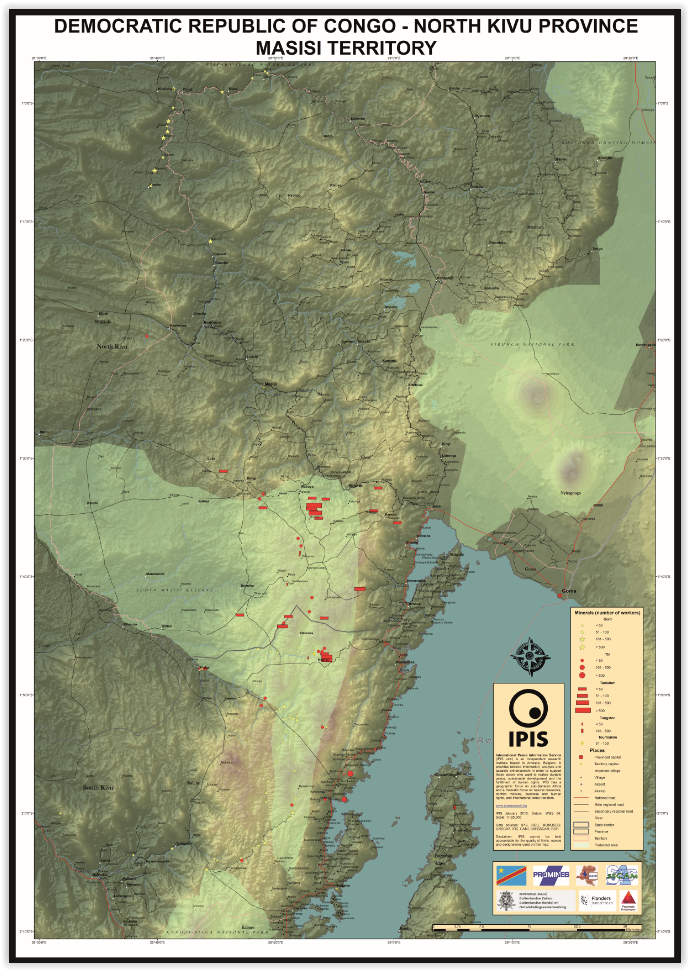
Masisi Territory – A0 Map
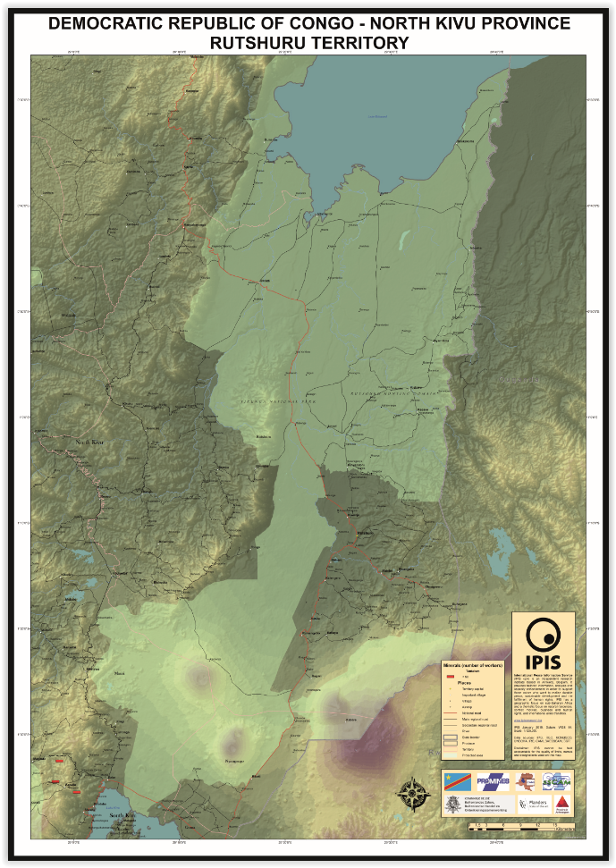
Rutshuru Territory – A0 Map
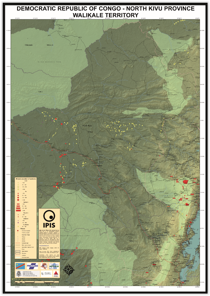
Walikale Territory – A0 Map
Mapping Conflict Motives: the Central African Republic (2012-2014)
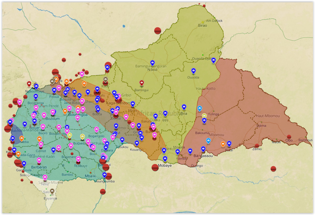
In this study, IPIS analyses the conflict dynamics in the Central African Republic (CAR) since the outbreak of the latest crisis in September 2012 up to September 2014. The analysis specifically looks into the motivations and interests of the main conflict parties, Seleka and anti-balaka, and the influence and interests of neighbouring countries. The report […]
Analysis of the interactive map of artisanal mining areas in Eastern DRC – May 2014 Update
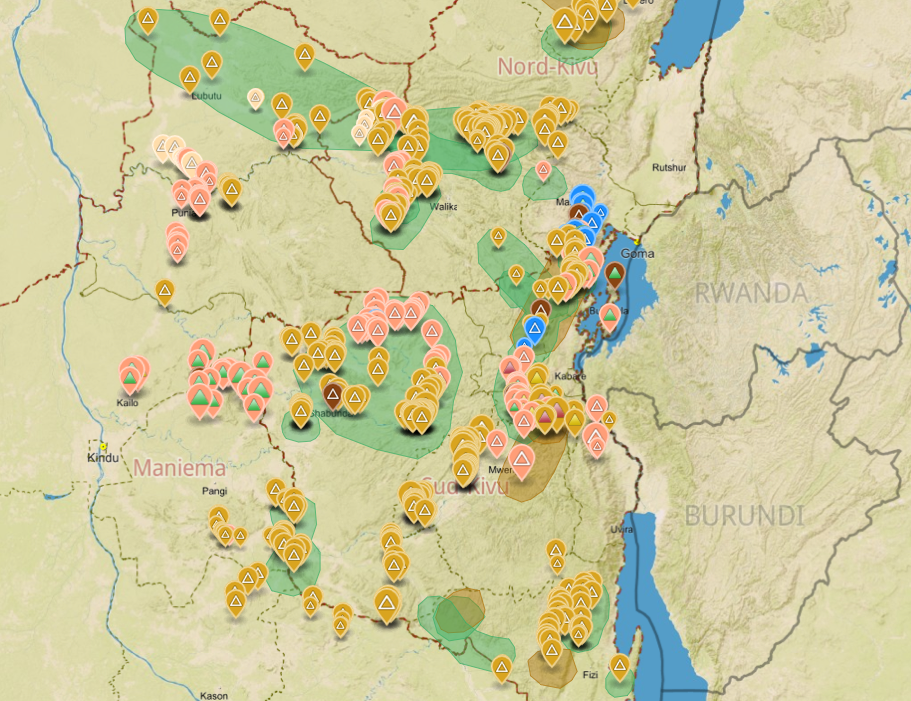
In collaboration with the Congolese mining cadastre (CAMI), mining service SAESSCAM and representatives from local civil society organisations, IPIS organised a series of field visits to monitor artisanal mining activities and the involvement of armed groups and criminal networks in mineral exploitation and trade. This resulted in the publication of an interactive web map providing […]

