Recherche indépendante et renforcement des capacités pour une paix durable, le développement durable et les droits de l’homme
Dernières publications
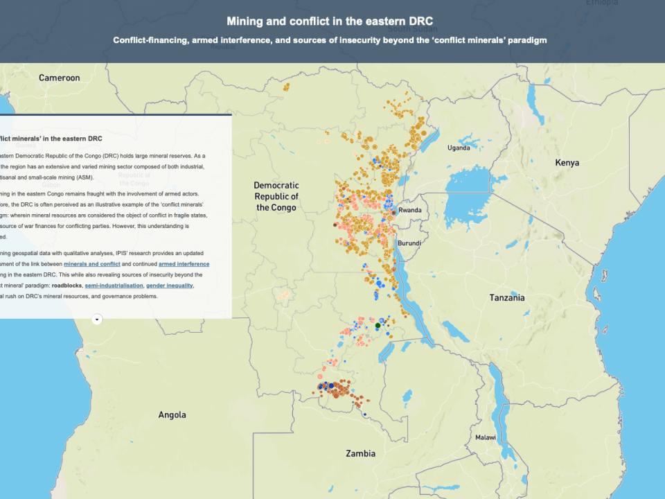
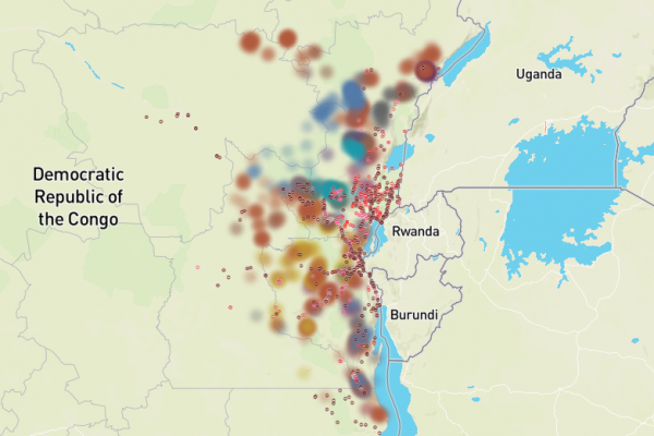
Financement des conflits, ingérence armée et sources d’insécurité au-delà du paradigme des « minerais de conflit » Dans cette carte narrative, IPIS présente les résultats de ses recherches sur le lien entre l’exploitation minière et le financement des conflits dans l’est de la République démocratique du Congo (RDC). Basée sur une enquête menée entre 2021-2023 […]
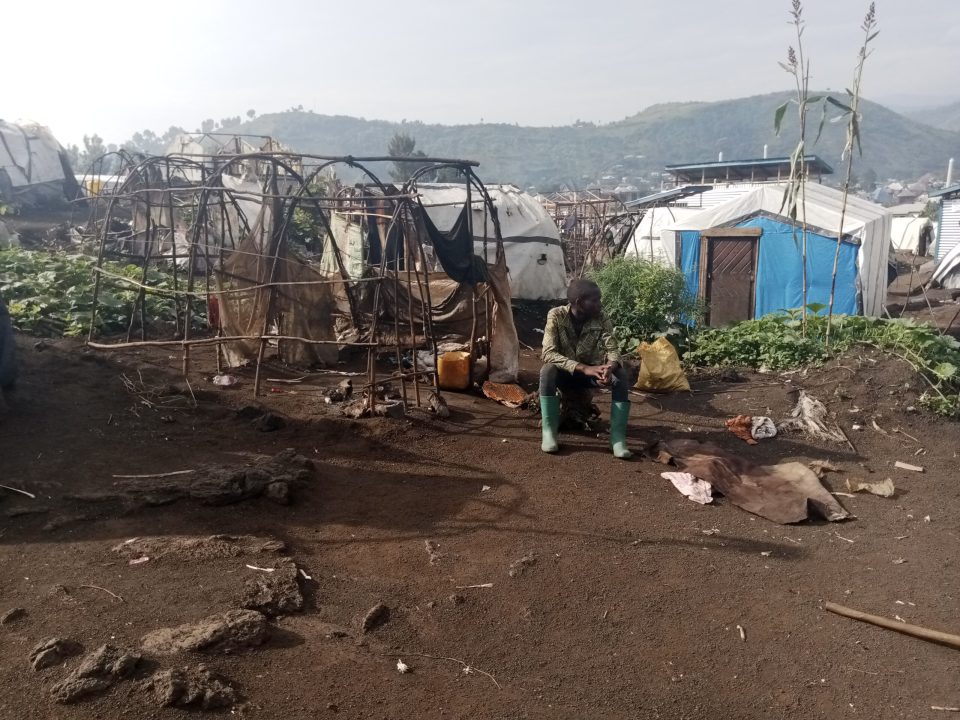
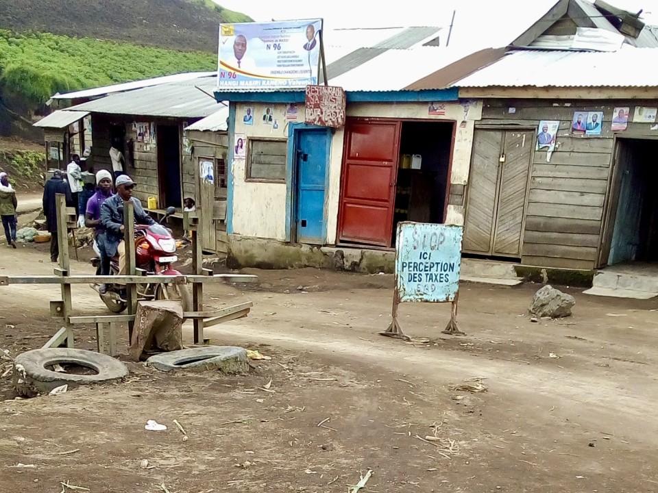
Si les minerais sont au centre des recherches sur le financement des conflits en République démocratique du Congo, les acteurs armés ont souvent recours à d’autres sources de revenus pour financer leurs luttes. Lesbarrages routiers en font. Dans ce rapport, produit en collaboration avec ASSODIP et le Danish Institute for International Studies (DIIS), IPIS étudie […]
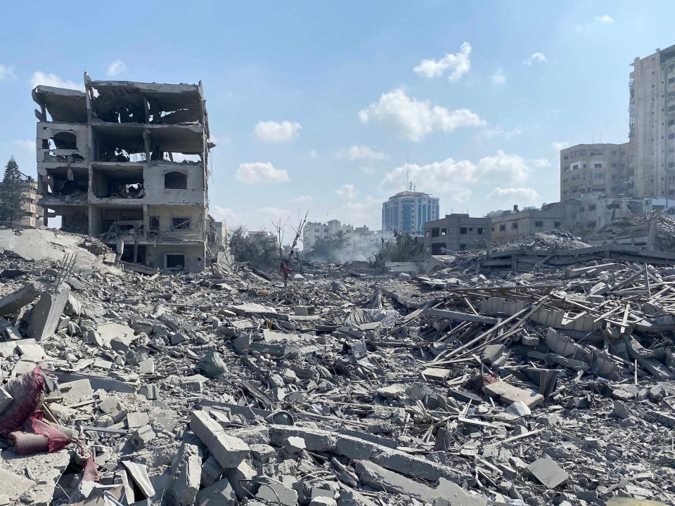
In this report, Vredesactie and IPIS take a critical look at Belgium’s policy on the export and transit of defense-related goods and dual-use goods to Israel. The new Gaza war puts this arms trade policy back in the spotlight. The regional governments, responsible for arms trade, regularly claim to assume the highest standards. And […]
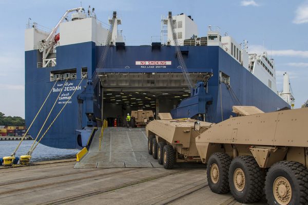
The objective of strengthening controls on the transfer of small arms and light weapons (SALW) is to ensure a more responsible trade, counter the illicit trade and prevent armed violence and conflict. To be effective SALW control is not limited to export control. Consignments of SALW as well as their ammunition, parts, and components, need […]
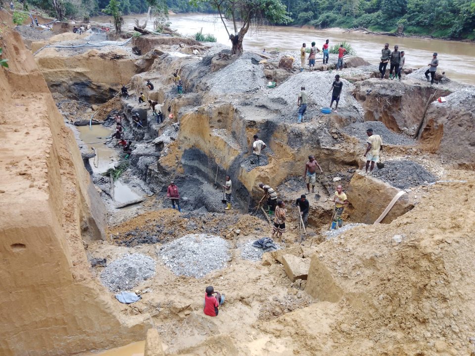
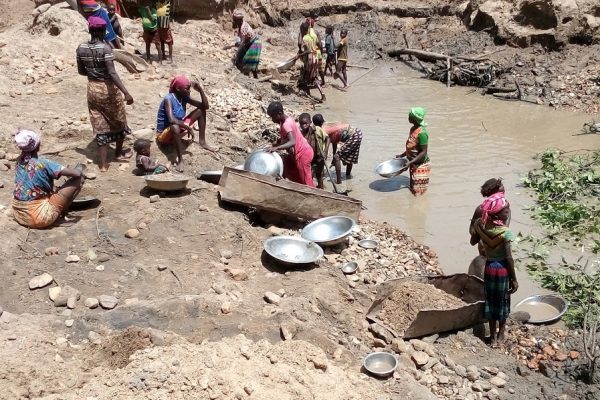
Depuis 2009, IPIS a cartographié et collecté des données sur plus de 2 800 sites d’exploitation minière artisanale et à petite échelle (EMAPE) dans l’est de la République démocratique du Congo (RDC). Dans ce rapport, IPIS fournit sa mise à jour 2023 de l’état de l’EMAPE dans l’est de la RDC, basée sur des données […]
Actualités
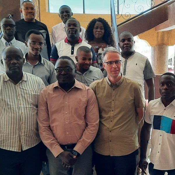
Première réunion annuelle du nouveau réseau Kufatilia En novembre 2023, les partenaires Kufatilia se sont rendus à Bunia et Bukavu, dans l’est de la République(...)
On the 30th of November, IPIS hosted its annual panel discussion, this time on current challenges facing the cobalt sector in the Democratic Republic of(...)
Dernier briefing
- Tanzania Briefing
- :
Souscrire aux nouvelles d'IPIS
Vous souhaitez recevoir le briefing d’IPIS avec une sélection d’articles, de nouvelles et de mises à jour sur les ressources naturelles, les conflits armés, les entreprises et les droits de l’Homme, et le commerce des armes ? Le briefing d’IPIS comprend également un éditorial sur l’actualité, des articles connexes, ainsi que des mises à jour sur les résultats des recherches d’IPIS, de nouvelles cartes, des rapports et des briefings.

