Independent research and capacity enhancement for durable peace, sustainable development and human rights
IPIS' latest publications
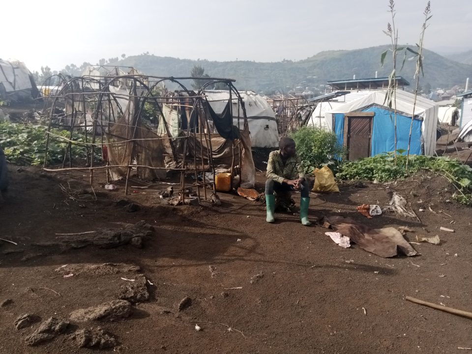
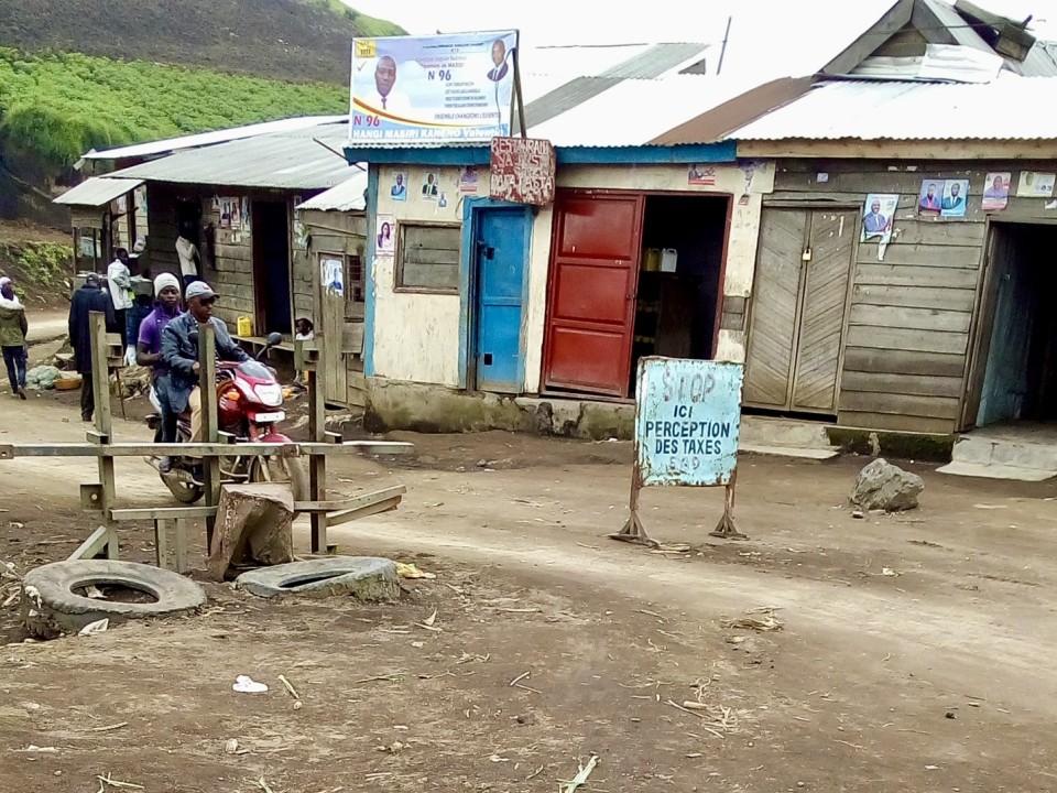
While minerals have centered in research on conflict financing in the Democratic Republic of the Congo, armed actors often rely on alternative sources of revenue to finance their struggles. Among these are the operation of roadblocks. In this report, produced together with ASSODIP and the Danish Institute for International Studies, IPIS studies the linkage between […]
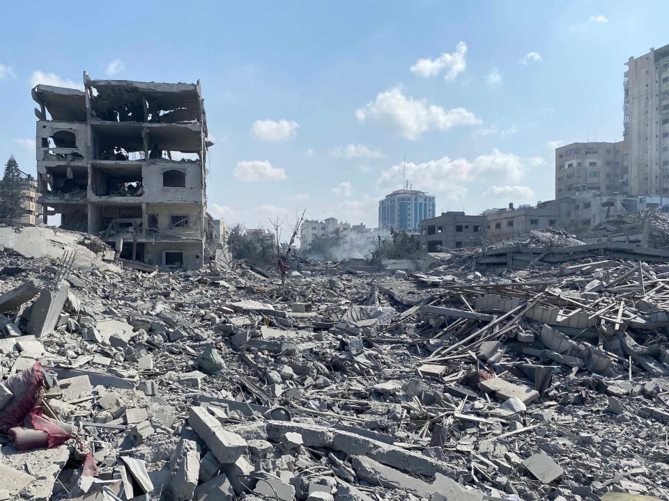
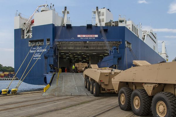
In this report, Vredesactie and IPIS take a critical look at Belgium’s policy on the export and transit of defense-related goods and dual-use goods to Israel. The new Gaza war puts this arms trade policy back in the spotlight. The regional governments, responsible for arms trade, regularly claim to assume the highest standards. And […]
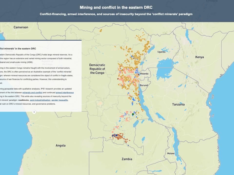
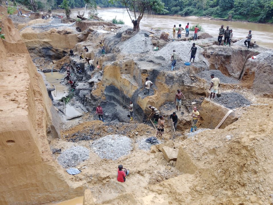
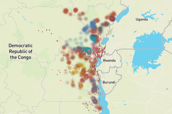
Conflict-financing, armed interference, and sources of insecurity beyond the ‘conflict minerals’ paradigm In this story map, IPIS presents its findings on the linkage between mining and conflict-financing in the eastern Democratic Republic of the Congo (DRC). Based on a survey conducted between 2021-2023 of 829 active mining sites (representing over 132,320 artisanal miners), IPIS’ research […]
The objective of strengthening controls on the transfer of small arms and light weapons (SALW) is to ensure a more responsible trade, counter the illicit trade and prevent armed violence and conflict. To be effective SALW control is not limited to export control. Consignments of SALW as well as their ammunition, parts, and components, need […]
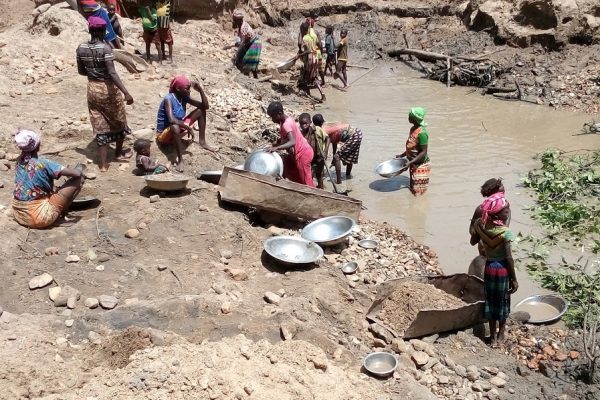
Since 2009, IPIS has mapped and collected data at more than 2,800 Artisanal and Small-scale Mining (ASM) sites in the eastern Democratic Republic of the Congo (DRC). In this report, IPIS provides its 2023 update of the state of ASM in the eastern DRC, based on data from over 829 ASM sites in the eastern […]
News
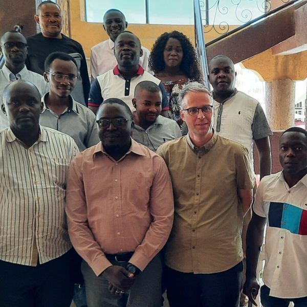
First annual meeting of the newly established Kufatilia network In November 2023, IPIS’ Kufatilia partners traveled to Bunia and Bukavu in the eastern Democratic Republic(...)
On the 30th of November, IPIS hosted its annual panel discussion, this time on current challenges facing the cobalt sector in the Democratic Republic of(...)
Latest briefing
- Tanzania Briefing
- :
Subscribe to IPIS' updates
Do you want to receive the IPIS briefing with a selection of articles, news and updates on natural resources, armed conflict, business and human rights, and arms trade? The IPIS briefing also includes a topical editorial and related articles, and updates on IPIS’ research findings, new maps, reports and briefings.

